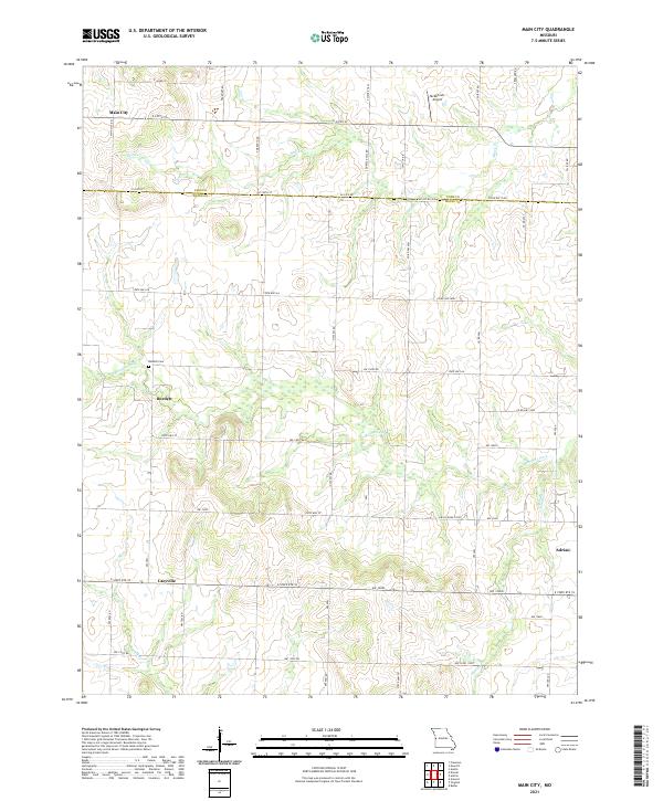
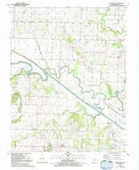
2021 Map of Main City
USGS Topo · Published 2021About this map
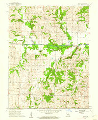
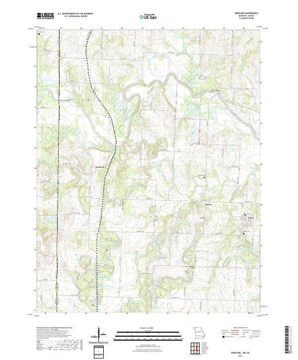
Main City and the surrounding borderlands of Cass and Bates counties are defined by a complex network of small rural settlements and agricultural corridors in this 2021 survey. The landscape is carved by the winding paths of Mormon Fork and Black Cr, which dictated the early placement of communities like Burdett and Lacyville. These small clusters of buildings, often located at the intersections of state routes and county roads, represent the persistent rural character of western Missouri.
Find a feature on this map
51 named features on this map. Tap any name to fly to it.
Don’t see what you’re looking for? This feature index may not catch every label — zoom into the map to look around manually.
Map Details
Editions of this 2021 Main City Map
This is the sole edition of this map. No revisions or reprints were ever made.
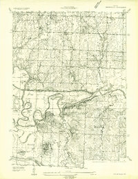
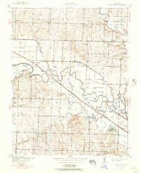
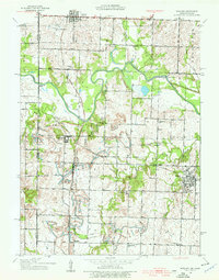
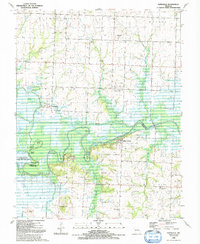
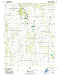
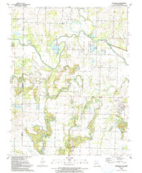
Historical Maps of Main City Through Time
26 maps found
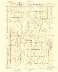
1934 Papinsville
Bates County, MO
1937 New Home
Bates County, MO
1938 Worland
Bates County, MO
1940 Worland
Bates County, MO
1942 Sprague
Bates County, MO
1961 Dayton
Bates County, MO
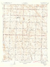
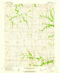
1961 Main City
Bates County, MO
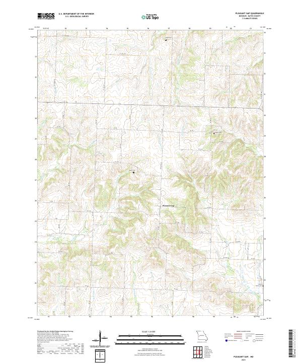
1961 Pleasant Gap
Bates County, MO
1961 Spruce
Bates County, MO
1961 Virginia
Bates County, MO

1963 Papinsville
Bates County, MO
1991 Butler South
Bates County, MO
1991 New Home
Bates County, MO
1991 Papinville
Bates County, MO
1991 Sprague
Bates County, MO
1991 Worland
Bates County, MO
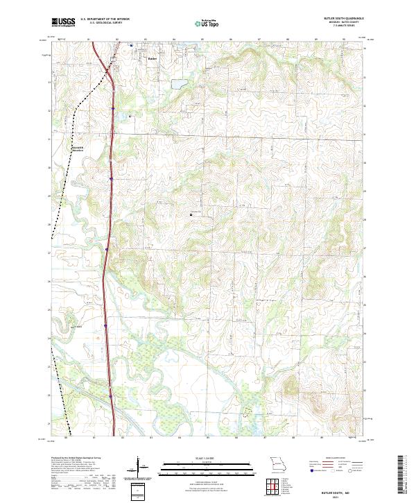
2021 Butler South
Bates County, MO
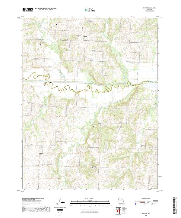
2021 Dayton
Bates County, MO
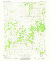
2021 Main City
Bates County, MO
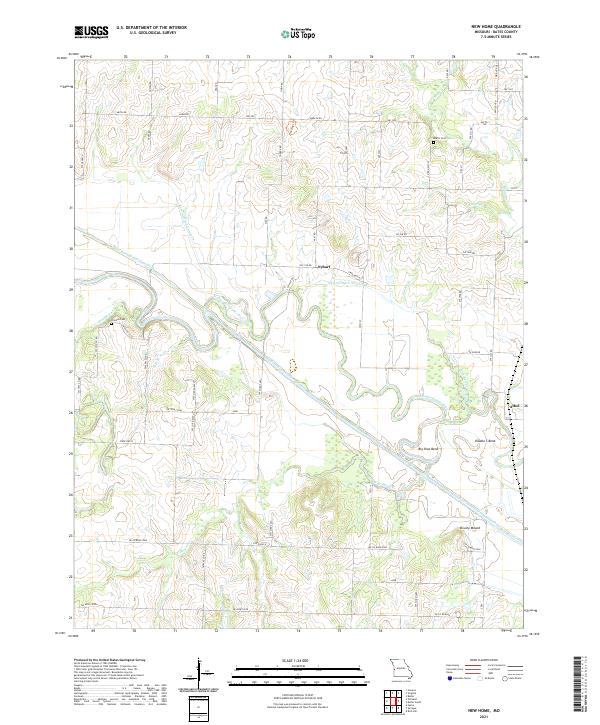
2021 New Home
Bates County, MO
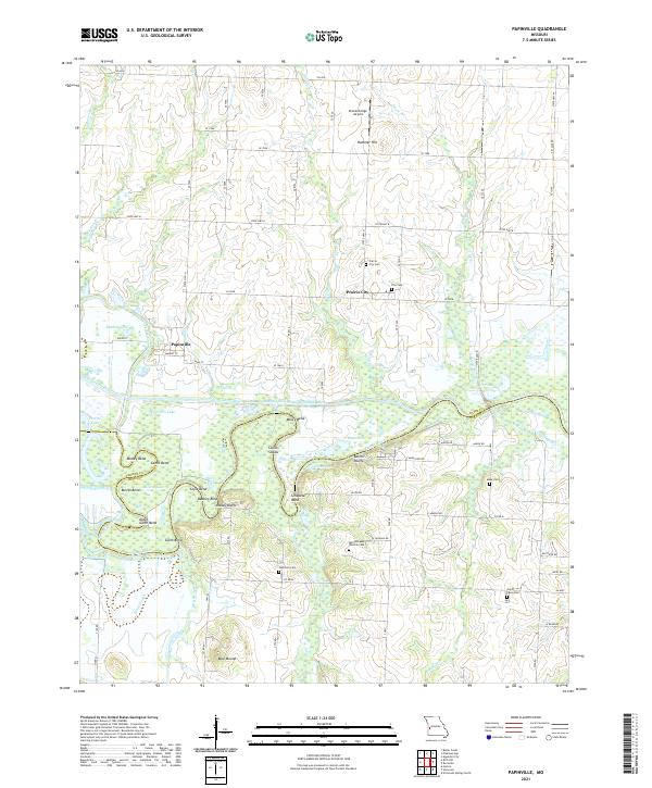
2021 Papinville
Bates County, MO
2021 Pleasant Gap
Bates County, MO
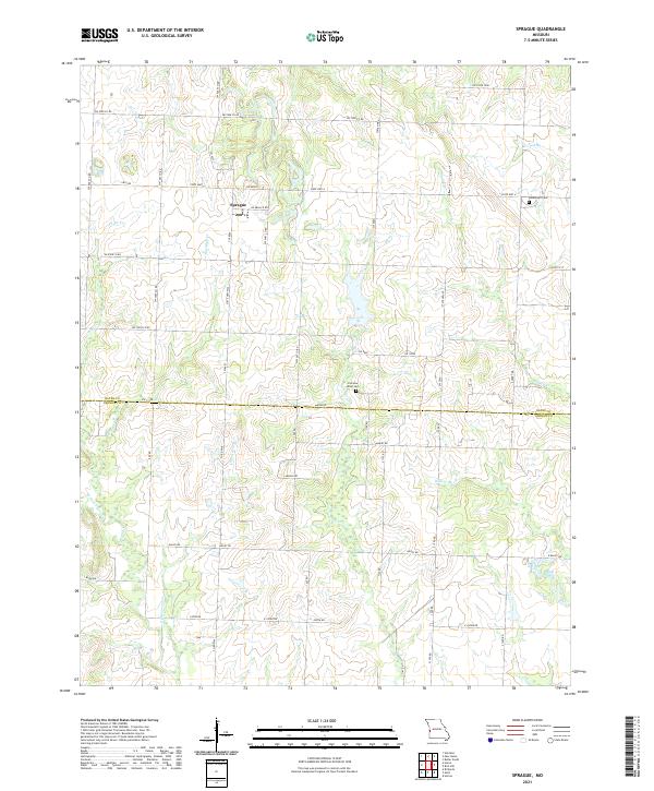
2021 Sprague
Bates County, MO
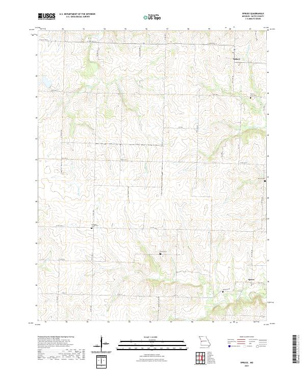
2021 Spruce
Bates County, MO
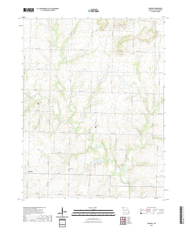
2021 Virginia
Bates County, MO
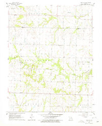
2021 Worland
Bates County, MO