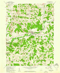
1960 Map of Malvern
USGS Topo · Published 1961About this map
The village of Malvern serves as a central hub on this Stark and Carroll County borderland, where industrial and agricultural patterns converge. The landscape is defined by the winding course of Sandy Creek and the heavy transport infrastructure of the Pennsylvania RR and the New York Chicago and St Louis RR. Industrial activity is evident in the Brickkilns near Malvern and the numerous strip mines dotting the northern hills, signaling the region's reliance on clay and coal.
Find a feature on this map
57 named features on this map. Tap any name to fly to it.
Don’t see what you’re looking for? This feature index may not catch every label — zoom into the map to look around manually.
Map Details
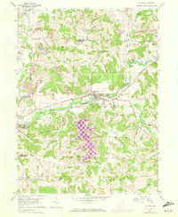
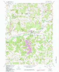
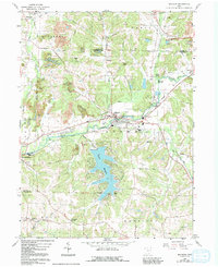
Editions of this 1960 Malvern Map
4 editions found
Other maps of this area

1901 · Canton
USGS Topo · 1:62,500

1903 · Canton
USGS Topo · 1:62,500

1909 · Alliance
USGS Topo · 1:62,500

1910 · Carrollton
USGS Topo · 1:62,500

1912 · Dover
USGS Topo · 1:62,500

1912 · Carrollton
USGS Topo · 1:62,500

1944 · Dover
USGS Topo · 1:62,500

1951 · Canton
USGS Topo · 1:250,000

1953 · Canton
USGS Topo · 1:250,000

1957 · Canton
USGS Topo · 1:250,000