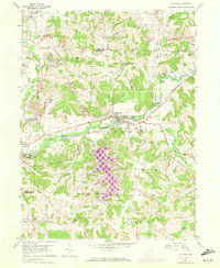
1960 Map of Malvern
USGS Topo · Published 1972About this map
The intersection of the Geographers Line and the Stark Co Carroll Co border defines this mid-century landscape where industrial activity meets rural settlement. In the village of Malvern, the economy is marked by Brickkilns and multiple rail lines, including the Norfolk and Western and Penn Central, which converge at Minerva Junction. The presence of numerous extractive sites, labeled as Strip Mine, indicates the significant role of coal and clay production in the local terrain.
Find a feature on this map
50 named features on this map. Tap any name to fly to it.
Don’t see what you’re looking for? This feature index may not catch every label — zoom into the map to look around manually.
Map Details
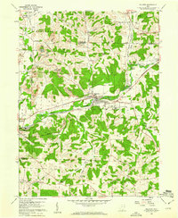
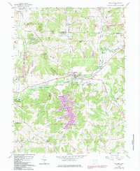
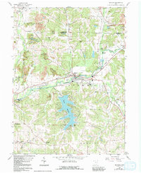
Editions of this 1960 Malvern Map
4 editions found
Other maps of this area

1901 · Canton
USGS Topo · 1:62,500

1903 · Canton
USGS Topo · 1:62,500

1909 · Alliance
USGS Topo · 1:62,500

1910 · Carrollton
USGS Topo · 1:62,500

1912 · Dover
USGS Topo · 1:62,500

1912 · Carrollton
USGS Topo · 1:62,500

1944 · Dover
USGS Topo · 1:62,500

1951 · Canton
USGS Topo · 1:250,000

1953 · Canton
USGS Topo · 1:250,000

1957 · Canton
USGS Topo · 1:250,000