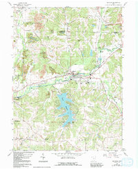
1960 Map of Malvern
USGS Topo · Published 1992About this map
Sandy Creek and its various tributaries, including Middle Run and Little Sandy Creek, define the landscape of this region on the border of Stark and Carroll Counties. The extensive Lake Mohawk dominates the southern portion of the sheet, surrounded by local landmarks like Geographers Line. The area is a mixture of small settlements and rural infrastructure, from the village of Malvern to the rail-connected Minerva Junction. Several local congregations and burying grounds, such as Salem Ch, Christ Ch, and Bethlehem Cem, are documented alongside active industrial sites noted as Strip Mine. The presence of several abandoned rail lines near Oneida reflects the shifting transportation patterns of the mid-20th century as the local economy transitioned away from older transit corridors.
Find a feature on this map
49 named features on this map. Tap any name to fly to it.
Don’t see what you’re looking for? This feature index may not catch every label — zoom into the map to look around manually.
Map Details
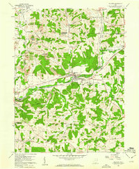
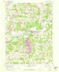
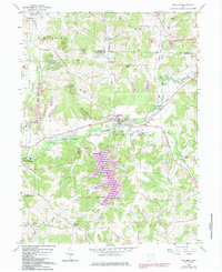
Editions of this 1960 Malvern Map
4 editions found
Other maps of this area

1901 · Canton
USGS Topo · 1:62,500

1903 · Canton
USGS Topo · 1:62,500

1909 · Alliance
USGS Topo · 1:62,500

1910 · Carrollton
USGS Topo · 1:62,500

1912 · Dover
USGS Topo · 1:62,500

1912 · Carrollton
USGS Topo · 1:62,500

1944 · Dover
USGS Topo · 1:62,500

1951 · Canton
USGS Topo · 1:250,000

1953 · Canton
USGS Topo · 1:250,000

1957 · Canton
USGS Topo · 1:250,000