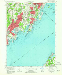
1955 Map of Mamaroneck
USGS Topo · Published 1965About this map
The New York New Haven and Hartford railroad cuts a diagonal path through this mid-century landscape, linking the burgeoning suburban hubs of Mamaroneck, Harrison, and Rye. The shoreline of Long Island Sound is heavily developed with recreational and institutional sites, from the amusements at Playland Park to the numerous private clubs like the Hampshire Country Club and Apawamis Golf Club. The map provides significant detail for genealogists, identifying several small burial grounds such as Haviland Cem and the Delancey Cem, alongside major facilities like the Osborn Memorial Home.
Find a feature on this map
97 named features on this map. Tap any name to fly to it.
Don’t see what you’re looking for? This feature index may not catch every label — zoom into the map to look around manually.
Map Details
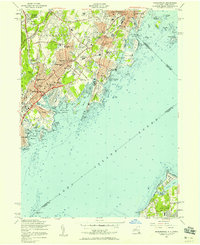
Editions of this 1955 Mamaroneck Map
2 editions found
Other maps of this area

1891 · Harlem
USGS Topo · 1:62,500

1892 · Stamford
USGS Topo · 1:62,500

1892 · Tarrytown
USGS Topo · 1:62,500

1893 · Stamford
USGS Topo · 1:62,500

1893 · Tarrytown
USGS Topo · 1:62,500

1897 · Harlem
USGS Topo · 1:62,500

1897 · Oyster Bay
USGS Topo · 1:62,500

1898 · Harlem
USGS Topo · 1:62,500

1898 · Oyster Bay
USGS Topo · 1:62,500

1899 · Stamford
USGS Topo · 1:62,500