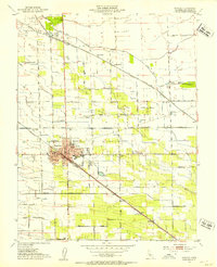
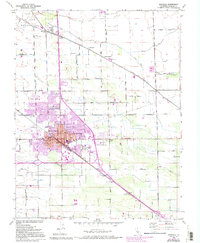
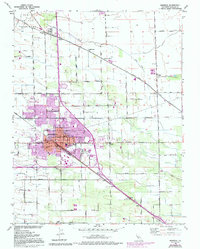
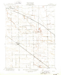
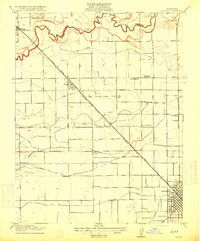
1952 Map of Manteca
USGS Topo · Published 1953About this map
Manteca serves as a central hub for agriculture and rail transport in this early 1950s survey of the San Joaquin Valley. The city core is anchored by City Hall and several local campuses, including Yosemite School and Union High School. Beyond the residential blocks, the industrial character of the era is evident in the Sugar Refinery and a Winery located south of the main settlement. The landscape is defined by a rigid grid of rural roads like Lathrop Road and Lovelace Road, which intersect the diagonal routes of the Southern Pacific and Tidewater Southern railroads. Smaller outlying communities and points of interest, such as Summer Home and Five Corners, illustrate the distributed nature of local farming life. Notable landmarks for genealogical research include Park View Cemetery and the Union Memorial Cemetery, providing a detailed view of the community's established infrastructure.
Find a feature on this map
42 named features on this map. Tap any name to fly to it.
Don’t see what you’re looking for? This feature index may not catch every label — zoom into the map to look around manually.
Map Details
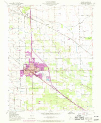
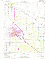
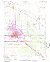
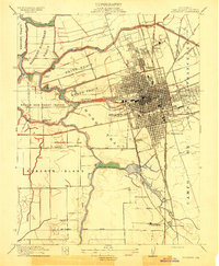
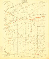
Editions of this 1952 Manteca Map
6 editions found
Other maps of this area
1913 · Stockton
USGS Topo · 1:31,680
1914 · Burnham
USGS Topo · 1:31,680
1914 · Manteca
USGS Topo · 1:31,680

1914 · Avena
USGS Topo · 1:31,680

1915 · Vernalis
USGS Topo · 1:31,680
1915 · Lathrop
USGS Topo · 1:31,680
1915 · Ripon
USGS Topo · 1:31,680
1915 · Peters
USGS Topo · 1:31,680
1915 · Salida
USGS Topo · 1:31,680
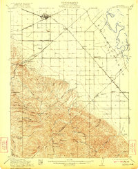
1922 · Carbona
USGS Topo · 1:62,500