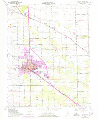
1952 Map of Manteca
USGS Topo · Published 1977About this map
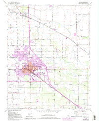
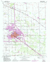
The agricultural and industrial character of the San Joaquin Valley is well-established in this mid-century view of Manteca. Centered on the intersection of the Southern Pacific and Tidewater Southern railroads, the town shows signs of post-war expansion. Local industry is anchored by the Sugar Refinery and a Winery near Bardi, reflecting the region's productive landscape. The map also delineates the historic Campo de los Franceses land grant in the northwest corner, where French Camp Slough and Lone Tree Creek traverse the flat terrain.
Find a feature on this map
54 named features on this map. Tap any name to fly to it.
Don’t see what you’re looking for? This feature index may not catch every label — zoom into the map to look around manually.
Map Details
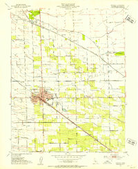
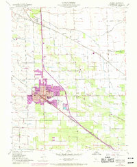
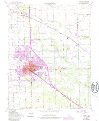
Editions of this 1952 Manteca Map
6 editions found
Other maps of this area

1913 · Stockton
USGS Topo · 1:31,680

1914 · Burnham
USGS Topo · 1:31,680

1914 · Manteca
USGS Topo · 1:31,680

1914 · Avena
USGS Topo · 1:31,680

1915 · Vernalis
USGS Topo · 1:31,680

1915 · Lathrop
USGS Topo · 1:31,680

1915 · Ripon
USGS Topo · 1:31,680

1915 · Peters
USGS Topo · 1:31,680

1915 · Salida
USGS Topo · 1:31,680

1922 · Carbona
USGS Topo · 1:62,500