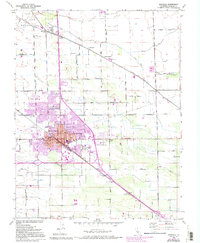
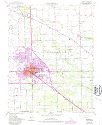
1952 Map of Manteca
USGS Topo · Published 1994About this map
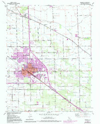
The city of Manteca and its surrounding agricultural lands in the Central Valley are defined here by a dense grid of rural roads and irrigation-influenced geography. This 1952 study, later updated with aerial photography, illustrates the town's industrial and educational core, anchored by landmarks like the Sugar Refinery and Union High Sch. The region's transport economy is evident in the convergence of the Southern Pacific, Union Pacific, and Tidewater Southern railroads, which facilitated the movement of local goods from facilities like the southern Winery. Smaller rural settlements such as Summer Home, Five Corners, and Calla dot the landscape, often situated near vital water features like Lone Tree Creek and French Camp Slough. Genealogists can locate family sites near the Union Memorial Cemetery or Park View Cem, while the inclusion of the Mobile Home Park and various city offices reflects the post-war urban expansion of San Joaquin County.
Find a feature on this map
43 named features on this map. Tap any name to fly to it.
Don’t see what you’re looking for? This feature index may not catch every label — zoom into the map to look around manually.
Map Details
Editions of this 1952 Manteca Map
6 editions found
Other maps of this area

1913 · Stockton
USGS Topo · 1:31,680

1914 · Burnham
USGS Topo · 1:31,680

1914 · Manteca
USGS Topo · 1:31,680

1914 · Avena
USGS Topo · 1:31,680

1915 · Vernalis
USGS Topo · 1:31,680

1915 · Lathrop
USGS Topo · 1:31,680

1915 · Ripon
USGS Topo · 1:31,680

1915 · Peters
USGS Topo · 1:31,680

1915 · Salida
USGS Topo · 1:31,680

1922 · Carbona
USGS Topo · 1:62,500