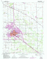
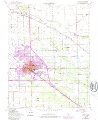
1952 Map of Manteca
USGS Topo · Published 1994About this map
Agricultural and industrial development define this mid-century look at the San Joaquin Valley, where the Sugar Refinery stands as a central landmark in the growing city of Manteca. The landscape is crisscrossed by a dense network of transportation infrastructure, featuring the tracks of the Southern Pacific, Tidewater Southern, and Western Pacific railroads. These lines connect local settlements like Summer Home, Calla, and Turner to the broader regional economy. The rural outskirts are defined by an organized grid of irrigation and access roads, including Lathrop Road and Yosemite Ave, which segment the terrain around Lone Tree Creek and French Camp Slough. Cultural and civic life is anchored by numerous local institutions, from the Union High Sch and Lincoln Sch to the Union Memorial Cemetery, reflecting the community's mid-century expansion.
Find a feature on this map
48 named features on this map. Tap any name to fly to it.
Don’t see what you’re looking for? This feature index may not catch every label — zoom into the map to look around manually.
Map Details
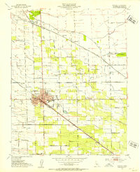
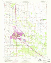
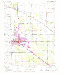
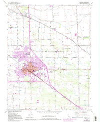
Editions of this 1952 Manteca Map
6 editions found
Other maps of this area

1913 · Stockton
USGS Topo · 1:31,680

1914 · Burnham
USGS Topo · 1:31,680

1914 · Manteca
USGS Topo · 1:31,680

1914 · Avena
USGS Topo · 1:31,680

1915 · Vernalis
USGS Topo · 1:31,680

1915 · Lathrop
USGS Topo · 1:31,680

1915 · Ripon
USGS Topo · 1:31,680

1915 · Peters
USGS Topo · 1:31,680

1915 · Salida
USGS Topo · 1:31,680

1922 · Carbona
USGS Topo · 1:62,500