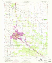
1952 Map of Manteca
USGS Topo · Published 1969About this map
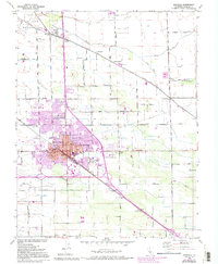
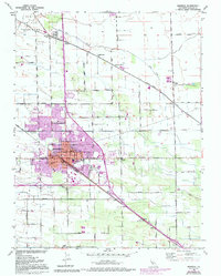
Manteca's post-war expansion and agricultural industrialization define this landscape, originally surveyed in 1912 and updated here through the late 1960s. The town core, marked by City Hall, is anchored by the transport infrastructure of the Southern Pacific and Tidewater Southern railroads, which facilitated the growth of local industry like the large Sugar Refinery and a southern Winery. Educational and civic life is anchored by institutions such as East Union High Sch and Castle School, while historical burial grounds including Park View Cem and Union Memorial Cemetery provide valuable data for genealogical research. To the north, the historic Camp De Los Franceses land grant is bisected by Lone Tree Creek, showing a transition from open acreage to suburban development evidenced by the 1968 purple tint updates.
Find a feature on this map
45 named features on this map. Tap any name to fly to it.
Don’t see what you’re looking for? This feature index may not catch every label — zoom into the map to look around manually.
Map Details
Editions of this 1952 Manteca Map
6 editions found
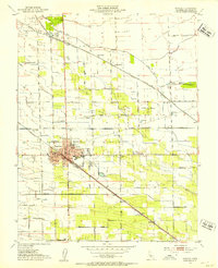
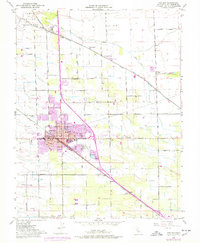
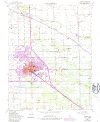
Other maps of this area

1913 · Stockton
USGS Topo · 1:31,680

1914 · Burnham
USGS Topo · 1:31,680

1914 · Manteca
USGS Topo · 1:31,680

1914 · Avena
USGS Topo · 1:31,680

1915 · Vernalis
USGS Topo · 1:31,680

1915 · Lathrop
USGS Topo · 1:31,680

1915 · Ripon
USGS Topo · 1:31,680

1915 · Peters
USGS Topo · 1:31,680

1915 · Salida
USGS Topo · 1:31,680

1922 · Carbona
USGS Topo · 1:62,500