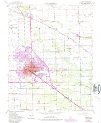
1952 Map of Manteca
USGS Topo · Published 1987About this map
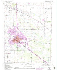
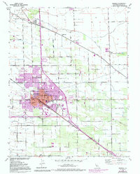
Manteca sits at the heart of this mid-century agricultural landscape, defined by a dense grid of rural roads and the crossing of the Southern Pacific and Union Pacific railroads. The area's industrial character is marked by the presence of a Sugar Refinery and a Winery, reflecting the region's productive orchards and fields. Educational life is anchored by numerous local campuses, including Union High Sch, Castle School, and Veritas Sch, while the outlying hamlets of Calla and Summer Home show the steady development of San Joaquin County beyond the city center.
Find a feature on this map
43 named features on this map. Tap any name to fly to it.
Don’t see what you’re looking for? This feature index may not catch every label — zoom into the map to look around manually.
Map Details
Editions of this 1952 Manteca Map
6 editions found
Other maps of this area

1913 · Stockton
USGS Topo · 1:31,680

1914 · Burnham
USGS Topo · 1:31,680

1914 · Manteca
USGS Topo · 1:31,680

1914 · Avena
USGS Topo · 1:31,680

1915 · Vernalis
USGS Topo · 1:31,680

1915 · Lathrop
USGS Topo · 1:31,680

1915 · Ripon
USGS Topo · 1:31,680

1915 · Peters
USGS Topo · 1:31,680

1915 · Salida
USGS Topo · 1:31,680

1922 · Carbona
USGS Topo · 1:62,500