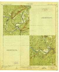
1929 Map of Marble Falls
USGS Topo · Published 1929About this map
Colorado River and Llano River converge in this 1920s survey, illustrating a Central Texas landscape defined by granite outcroppings and river-dependent industry before modern damming. The Southern Pacific railroad line is a central feature, serving the quarrying operations at Granite Mtn and connecting the town of Marble Falls to the wider region. Notable local infrastructure includes the Granite Mtn Sta and the river crossing at Mason Crossing.
Find a feature on this map
38 named features on this map. Tap any name to fly to it.
Don’t see what you’re looking for? This feature index may not catch every label — zoom into the map to look around manually.
Map Details
Editions of this 1929 Marble Falls Map
This is the sole edition of this map. No revisions or reprints were ever made.
Other maps of this area
1887 · Llano
USGS Topo · 1:125,000

1887 · Blanco
USGS Topo · 1:125,000

1887 · Burnet
USGS Topo · 1:125,000

1893 · Burnet
USGS Topo · 1:125,000
1894 · Fredericksburg
USGS Topo · 1:125,000

1894 · Blanco
USGS Topo · 1:125,000
1894 · Llano
USGS Topo · 1:125,000
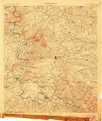
1903 · Burnet
USGS Topo · 1:125,000
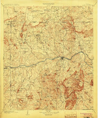
1904 · Llano
USGS Topo · 1:125,000
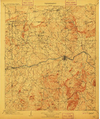
1909 · Llano
USGS Topo · 1:125,000