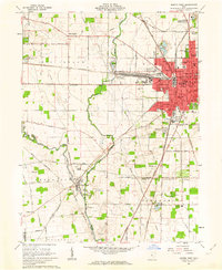
1961 Map of Marion West
USGS Topo · Published 1963About this map
Marion sits at a major transit nexus in the early 1960s, where the Pennsylvania Railroad, Erie Lackawanna, New York Central, and Chesapeake and Ohio lines converge. This industrial and administrative hub is surrounded by a patchwork of educational and social landmarks, including Taft Jr High Sch and the County Fairground. To the west, the landscape transitions into the agricultural plains of Big Island and Green Camp, where the Little Scioto River and Scioto River wind through the countryside.
Find a feature on this map
71 named features on this map. Tap any name to fly to it.
Don’t see what you’re looking for? This feature index may not catch every label — zoom into the map to look around manually.
Map Details
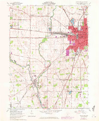
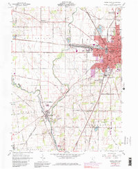
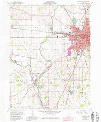
Editions of this 1961 Marion West Map
4 editions found
Other maps of this area

1903 · Marion
USGS Topo · 1:62,500

1905 · Marion
USGS Topo · 1:62,500

1913 · Richwood
USGS Topo · 1:62,500

1915 · Richwood
USGS Topo · 1:62,500

1915 · La Rue
USGS Topo · 1:62,500

1924 · Delaware
USGS Topo · 1:62,500

1925 · Delaware
USGS Topo · 1:62,500

1944 · Richwood
USGS Topo · 1:62,500

1944 · Delaware
USGS Topo · 1:62,500

1950 · Marion
USGS Topo · 1:250,000