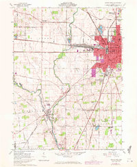
1961 Map of Marion West
USGS Topo · Published 1972About this map
Marion anchors this industrial and transit corridor in the early 1960s, showing a dense city center defined by the Courthouse and City Hall. The landscape is a study in 20th-century transportation, where the Erie Lackawanna and Penn Central rail lines intersect the city's western edge, serving numerous Quarries and manufacturing sites. Beyond the urban grid, the Little Scioto River and Scioto River wind through the township of Green Camp, where the Green Camp Cem and Sullivan Cem provide essential data points for local genealogy. The transition from industrial hub to agricultural prairie is marked by the Virginia Military District Boundary, a historical surveying line that cuts across the southern portion of the sheet. Education and community life are well-documented through a network of neighborhood institutions like Taft Jr High Sch and the expansive County Fairground north of the central business district.
Find a feature on this map
67 named features on this map. Tap any name to fly to it.
Don’t see what you’re looking for? This feature index may not catch every label — zoom into the map to look around manually.
Map Details
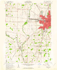
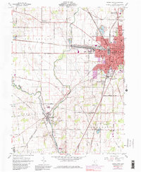
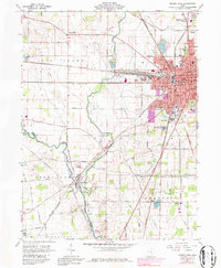
Editions of this 1961 Marion West Map
4 editions found
Other maps of this area

1903 · Marion
USGS Topo · 1:62,500

1905 · Marion
USGS Topo · 1:62,500

1913 · Richwood
USGS Topo · 1:62,500

1915 · Richwood
USGS Topo · 1:62,500

1915 · La Rue
USGS Topo · 1:62,500

1924 · Delaware
USGS Topo · 1:62,500

1925 · Delaware
USGS Topo · 1:62,500

1944 · Richwood
USGS Topo · 1:62,500

1944 · Delaware
USGS Topo · 1:62,500

1950 · Marion
USGS Topo · 1:250,000