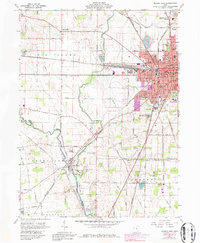
1961 Map of Marion West
USGS Topo · Published 1979About this map
The western expansion of Marion dominates the eastern half of this survey, where the convergence of the Erie Lackawanna, Penn Central, and Chesapeake and Ohio railroads created a dense industrial and transit hub. Moving westward, the landscape transitions into the agricultural plains of Big Island and the meandering course of the Scioto River. The river's junction with the Little Scioto River at the village of Green Camp highlights a historical settlement pattern dictated by these waterways. For genealogists, the map is a dense record of community institutions, from the Evangelical Ch in the southwest to a high concentration of schools like Lincoln Park Sch and the sprawling Marion Cem. The inclusion of local landmarks like the County Fairground and various Quarries reflects the mid-century industrial and social character of the county.
Find a feature on this map
75 named features on this map. Tap any name to fly to it.
Don’t see what you’re looking for? This feature index may not catch every label — zoom into the map to look around manually.
Map Details
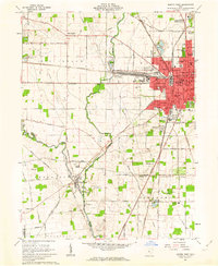
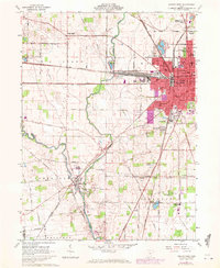
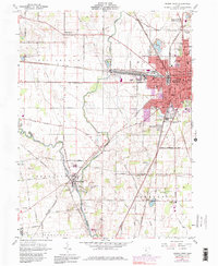
Editions of this 1961 Marion West Map
4 editions found
Other maps of this area

1903 · Marion
USGS Topo · 1:62,500

1905 · Marion
USGS Topo · 1:62,500

1913 · Richwood
USGS Topo · 1:62,500

1915 · Richwood
USGS Topo · 1:62,500

1915 · La Rue
USGS Topo · 1:62,500

1924 · Delaware
USGS Topo · 1:62,500

1925 · Delaware
USGS Topo · 1:62,500

1944 · Richwood
USGS Topo · 1:62,500

1944 · Delaware
USGS Topo · 1:62,500

1950 · Marion
USGS Topo · 1:250,000