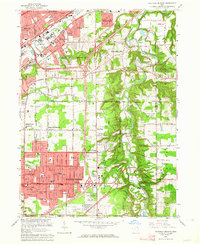
1963 Map of Mayfield Heights
USGS Topo · Published 1964About this map
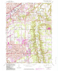
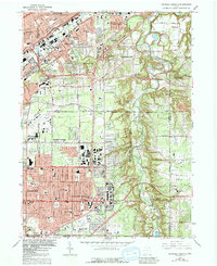
The Chagrin River meanders through a deeply incised valley, separating the suburban expansion of Mayfield Heights and Lyndhurst from the wooded bluffs of Gates Mills. This early 1960s landscape shows the rapid transition from rural estates and country clubs to dense residential subdivisions. Large institutional footprints define the area, including the Whitehaven Memorial Park (Cemetery), Acacia Park Cemetery, and the extensive Manakiki Country Club. The presence of the US Coast Guard Reservation (Radio Sta) east of the river and the New York Chicago and St Louis RR corridor in the north illustrates the mix of federal, industrial, and recreational land uses. Local religious life is anchored by landmarks like the Little Church in the Vale, while the growing population is served by numerous new schools such as St Paschal Baylon Sch and Gilmour Academy.
Find a feature on this map
66 named features on this map. Tap any name to fly to it.
Don’t see what you’re looking for? This feature index may not catch every label — zoom into the map to look around manually.
Map Details
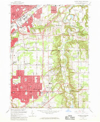
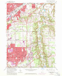
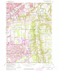
Editions of this 1963 Mayfield Heights Map
6 editions found
Other maps of this area

1901 · Euclid
USGS Topo · 1:62,500

1903 · Cleveland
USGS Topo · 1:62,500

1903 · Euclid
USGS Topo · 1:62,500

1905 · Mentor
USGS Topo · 1:62,500

1906 · Chagrin Falls
USGS Topo · 1:62,500

1907 · Mentor
USGS Topo · 1:62,500

1908 · Chagrin Falls
USGS Topo · 1:62,500

1950 · Cleveland
USGS Topo · 1:250,000

1953 · South Russell
USGS Topo · 1:24,000

1953 · Chagrin Falls
USGS Topo · 1:24,000