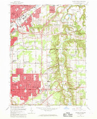
1963 Map of Mayfield Heights
USGS Topo · Published 1969About this map
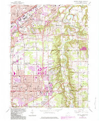
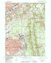
The Chagrin River carves a deep, wooded path through the eastern portion of this landscape, creating a sharp contrast between the burgeoning suburban developments of Mayfield Heights and the more open terrain of Gates Mills. During the early 1960s, the expansion of the Freeway and the New York Central RR corridors facilitated rapid growth in Wickliffe and Lyndhurst. The map highlights a significant concentration of institutional landmarks, including the Borromeo Seminary, Gilmour Academy, and several large memorial sites like Whitehaven Memorial Park. Of particular note is the US Coast Guard Reservation (Radio Sta) situated near the river, a relic of Cold War-era communications infrastructure. Residential patterns follow a mix of planned subdivisions and established estates, with local life centered around neighborhood fixtures like the Millridge Sch and the Little Church in the Vale.
Find a feature on this map
67 named features on this map. Tap any name to fly to it.
Don’t see what you’re looking for? This feature index may not catch every label — zoom into the map to look around manually.
Map Details
Editions of this 1963 Mayfield Heights Map
6 editions found
Other maps of this area

1901 · Euclid
USGS Topo · 1:62,500

1903 · Cleveland
USGS Topo · 1:62,500

1903 · Euclid
USGS Topo · 1:62,500

1905 · Mentor
USGS Topo · 1:62,500

1906 · Chagrin Falls
USGS Topo · 1:62,500

1907 · Mentor
USGS Topo · 1:62,500

1908 · Chagrin Falls
USGS Topo · 1:62,500

1950 · Cleveland
USGS Topo · 1:250,000

1953 · South Russell
USGS Topo · 1:24,000

1953 · Chagrin Falls
USGS Topo · 1:24,000