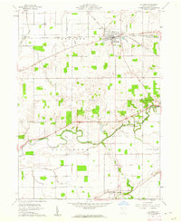
1960 Map of Mc Comb
USGS Topo · Published 1962About this map
McComb serves as the primary hub of this 1960 landscape, where the Baltimore and Ohio and the New York Chicago and St Louis railroads intersect. This rail junction defines the local economy, supporting the surrounding agricultural townships of Pleasant, Portage, Blanchard, and Liberty. The Blanchard River meanders through the central terrain, its banks punctuated by small family and community landmarks such as Duke Cem and the distinctly named Indian Grave Cem.
Find a feature on this map
25 named features on this map. Tap any name to fly to it.
Don’t see what you’re looking for? This feature index may not catch every label — zoom into the map to look around manually.
Map Details
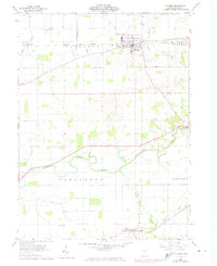
Editions of this 1960 Mc Comb Map
2 editions found
Other maps of this area

1903 · Findlay
USGS Topo · 1:62,500

1905 · Arlington
USGS Topo · 1:62,500

1907 · Bluffton
USGS Topo · 1:62,500

1907 · Arlington
USGS Topo · 1:24,000

1950 · Marion
USGS Topo · 1:250,000

1956 · Toledo
USGS Topo · 1:250,000

1960 · Deshler
USGS Topo · 1:24,000

1960 · Bluffton
USGS Topo · 1:24,000

1960 · Rawson
USGS Topo · 1:24,000

1960 · North Baltimore
USGS Topo · 1:24,000