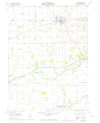
1960 Map of Mc Comb
USGS Topo · Published 1974About this map
McComb serves as the primary hub of activity in this 1960s agricultural landscape, situated at the junction of several rail lines and the winding Rader Creek. The village's development is clearly marked by an Old Railroad Grade and the active Norfolk and Western line, illustrating the region's reliance on rail transport for moving local harvests. Further south, the Blanchard River meanders across the townships of Blanchard and Liberty, accompanied by engineered drainage systems like Moffitt Ditch that transformed the Ohio plains into productive farmland.
Find a feature on this map
26 named features on this map. Tap any name to fly to it.
Don’t see what you’re looking for? This feature index may not catch every label — zoom into the map to look around manually.
Map Details
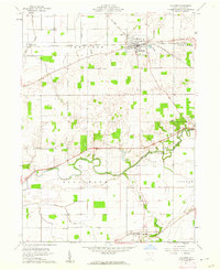
Editions of this 1960 Mc Comb Map
2 editions found
Other maps of this area

1903 · Findlay
USGS Topo · 1:62,500

1905 · Arlington
USGS Topo · 1:62,500

1907 · Bluffton
USGS Topo · 1:62,500

1907 · Arlington
USGS Topo · 1:24,000

1950 · Marion
USGS Topo · 1:250,000

1956 · Toledo
USGS Topo · 1:250,000

1960 · Deshler
USGS Topo · 1:24,000

1960 · Bluffton
USGS Topo · 1:24,000

1960 · Rawson
USGS Topo · 1:24,000

1960 · North Baltimore
USGS Topo · 1:24,000