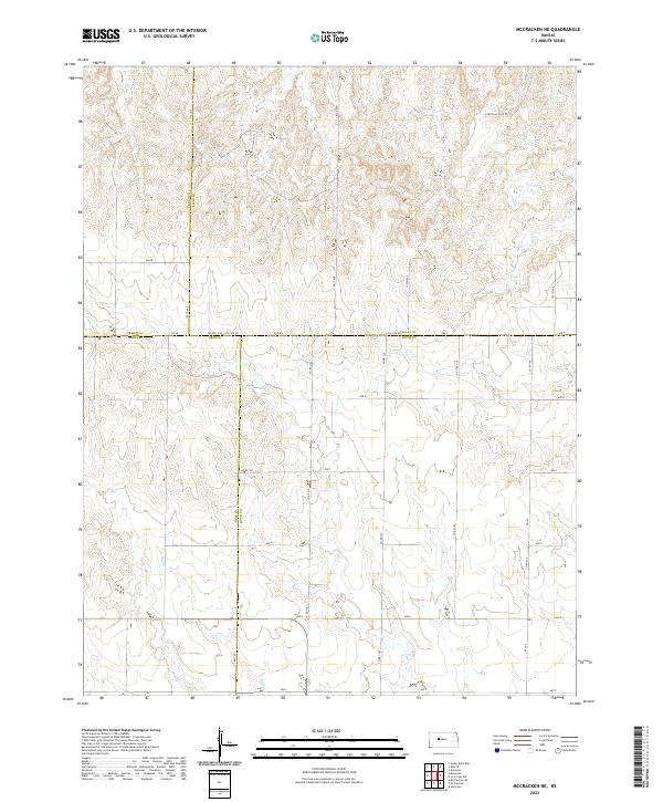
2022 Map of McCracken NE
USGS Topo · Published 2022About this map
The convergence of four Kansas counties—Ellis, Trego, Ness, and Rush—defines this rural landscape. The drainage of Snake Cr meanders southward through the terrain, cutting a path through the high plains topography that dictates the local section-line road network. This grid of dusty routes includes the curiously named Chetolah Gold Rd, which hints at local lore and the region's agricultural and mineral history.
Find a feature on this map
30 named features on this map. Tap any name to fly to it.
Don’t see what you’re looking for? This feature index may not catch every label — zoom into the map to look around manually.
Map Details
Editions of this 2022 McCracken NE Map
This is the sole edition of this map. No revisions or reprints were ever made.
Historical Maps of Ellis County Through Time
24 maps found

1961 Antonino
Ellis County, KS
1961 Hays North
Ellis County, KS
1961 Hays South
Ellis County, KS
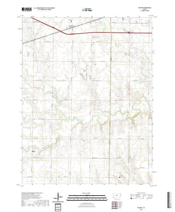
1961 Walker
Ellis County, KS
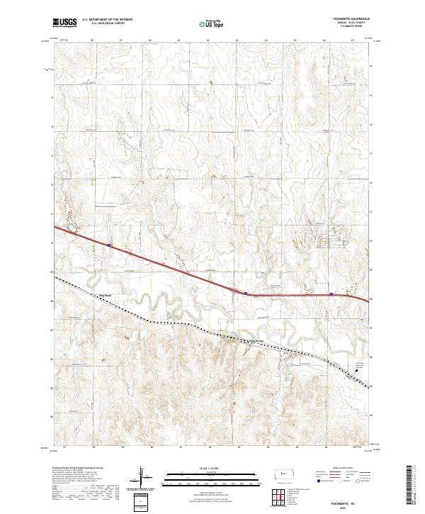
1961 Yocemento
Ellis County, KS

1963 Mouth of Wild Horse Creek
Ellis County, KS

1974 Ellis SE
Ellis County, KS

1978 Fairport
Ellis County, KS

1978 Plainville SE
Ellis County, KS

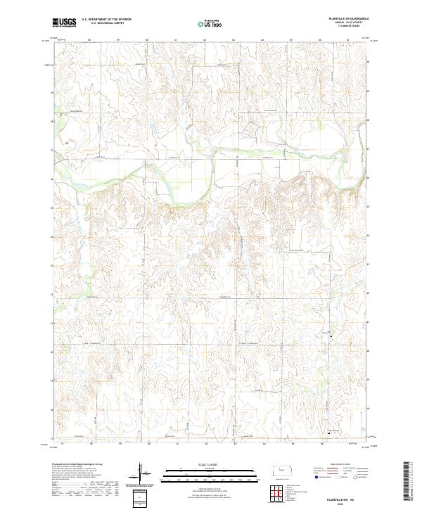
1978 Plainville SW
Ellis County, KS

1978 Turkville
Ellis County, KS

1980 Mc Cracken NE
Ellis County, KS
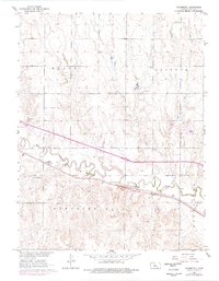
2022 Antonino
Ellis County, KS
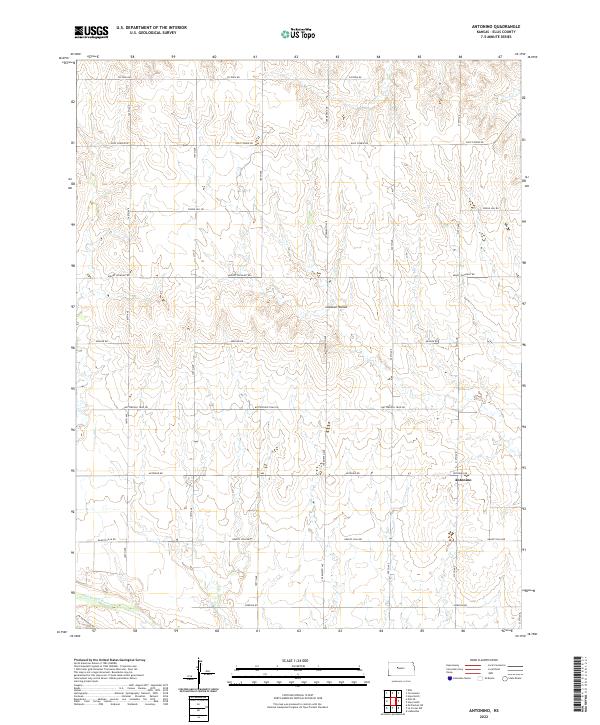
2022 Ellis SE
Ellis County, KS
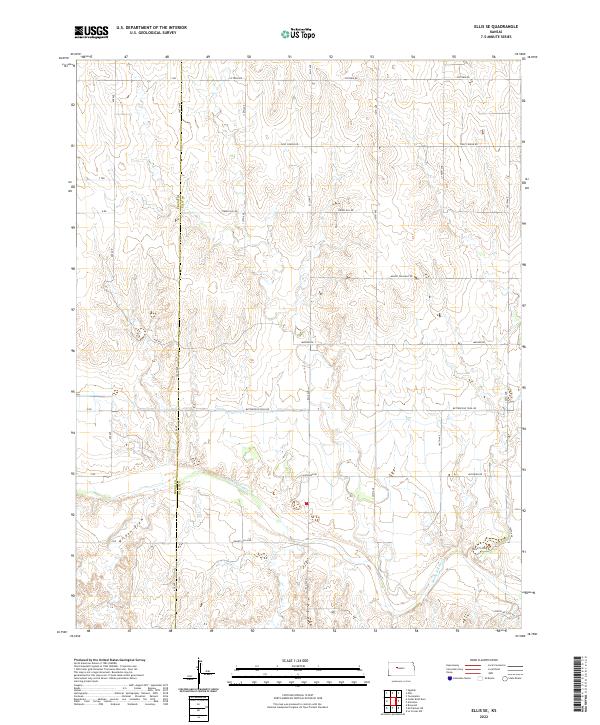
2022 Fairport
Ellis County, KS
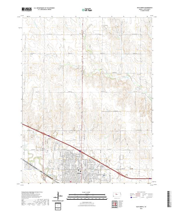
2022 Hays North
Ellis County, KS
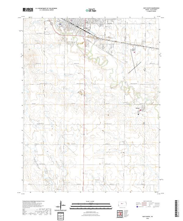
2022 Hays South
Ellis County, KS
2022 McCracken NE
Ellis County, KS
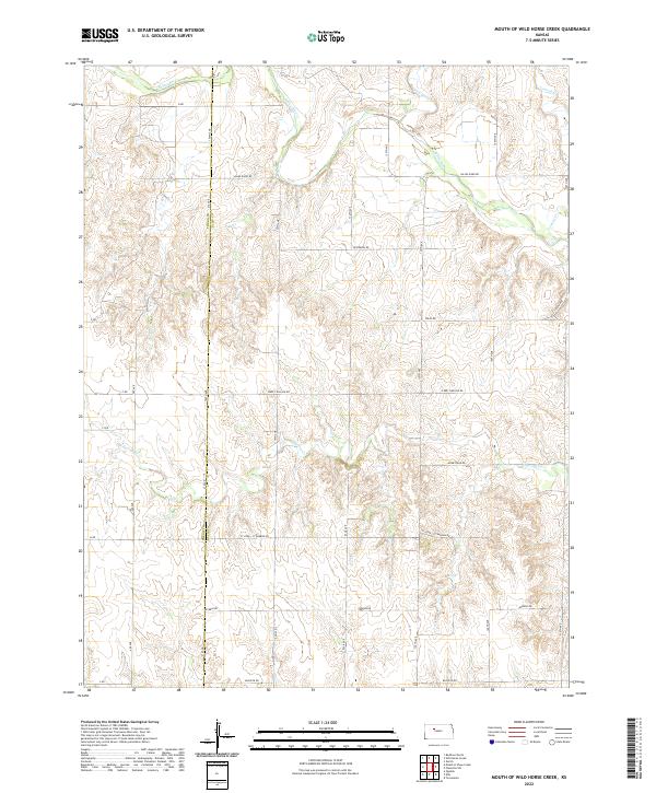
2022 Mouth of Wild Horse Creek
Ellis County, KS
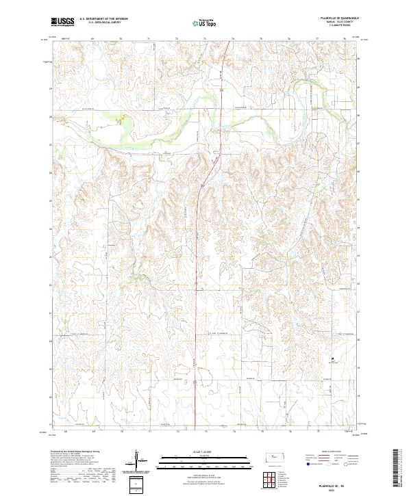
2022 Plainville SE
Ellis County, KS
2022 Plainville SW
Ellis County, KS

2022 Turkville
Ellis County, KS
2022 Walker
Ellis County, KS
2022 Yocemento
Ellis County, KS