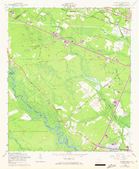
1958 Map of Meldrim SE
USGS Topo · Published 1972About this map
Fort Stewart Military Reservation dominates the southwestern corner of this coastal Georgia landscape, where the meandering Ogeechee River and Clyde Creek form natural boundaries. The terrain is defined by a dense network of wetlands, including Hardin Swamp and Horse Pen Swamp, interspersed with historical road names that hint at local industry, such as Sawdust Pile Road and Pine Barren Road.
Find a feature on this map
46 named features on this map. Tap any name to fly to it.
Don’t see what you’re looking for? This feature index may not catch every label — zoom into the map to look around manually.
Map Details
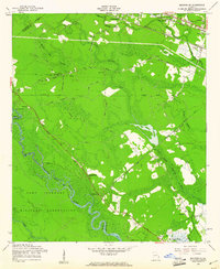
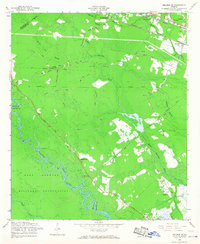
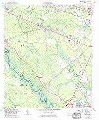
Editions of this 1958 Meldrim SE Map
4 editions found
Other maps of this area

1920 · Meldrim
USGS Topo · 1:62,500

1920 · Limerick
USGS Topo · 1:62,500

1942 · Meldrim
USGS Topo · 1:62,500

1942 · Savannah
USGS Topo · 1:62,500

1944 · Limerick
USGS Topo · 1:62,500

1944 · Ossabaw Island
USGS Topo · 1:62,500

1945 · Ossabaw Island
USGS Topo · 1:62,500

1946 · Brunswick
USGS Topo · 1:250,000

1947 · Savannah
USGS Topo · 1:250,000

1948 · Brunswick
USGS Topo · 1:250,000