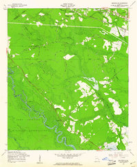
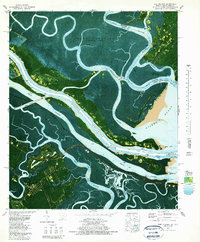
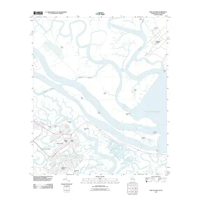
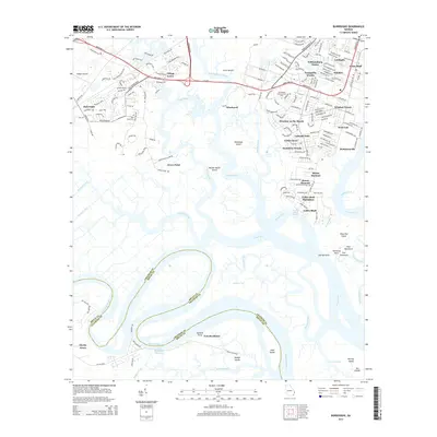
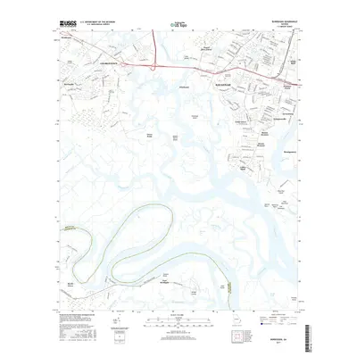
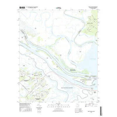
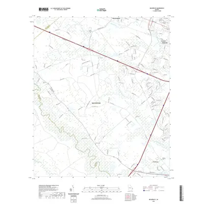
1958 Map of Meldrim SE
USGS Topo · Published 1961About this map
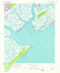
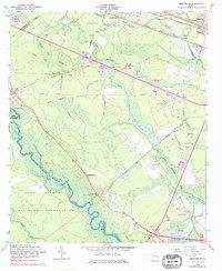
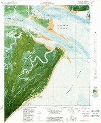
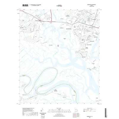
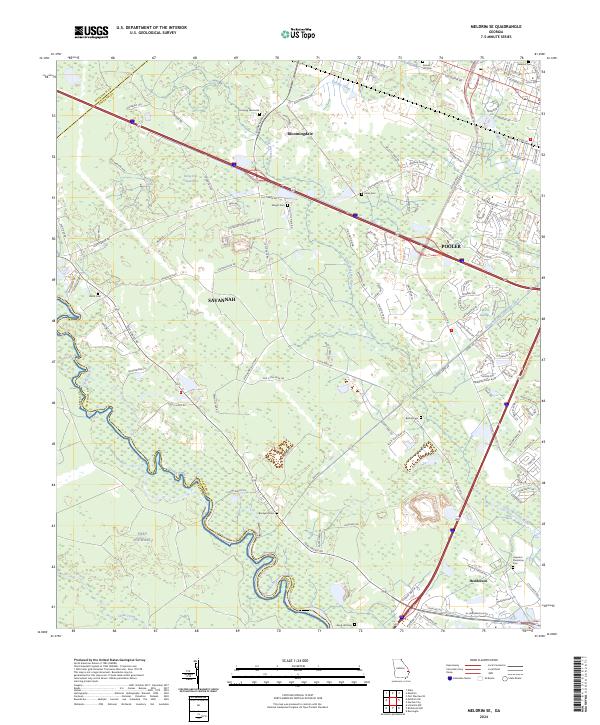
The Ogeechee River meanders through the heart of this landscape, defining the western edge of the Fort Stewart Military Reservation. To the northeast, the growing rail-side communities of Pooler and Bloomingdale sit along the Central of Georgia and Seaboard Air Line railroads, serving as hubs for the surrounding timber and agriculture lands. The map reveals a dense network of family and community landmarks, from the Pooler Sch to several small rural churches like South Newington Ch and Saint John Ch.
Find a feature on this map
51 named features on this map. Tap any name to fly to it.
Don’t see what you’re looking for? This feature index may not catch every label — zoom into the map to look around manually.
Map Details
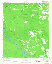
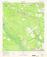
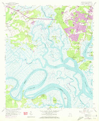
Editions of this 1958 Meldrim SE Map
4 editions found
Historical Maps of Savannah Through Time
59 maps found

1944 Ossabaw Island
Chatham County, GA

1945 Ossabaw Island
Chatham County, GA
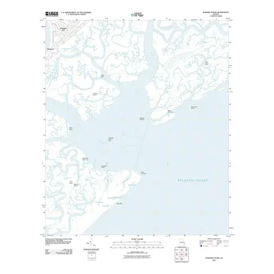
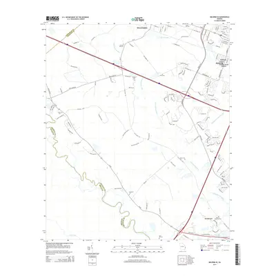
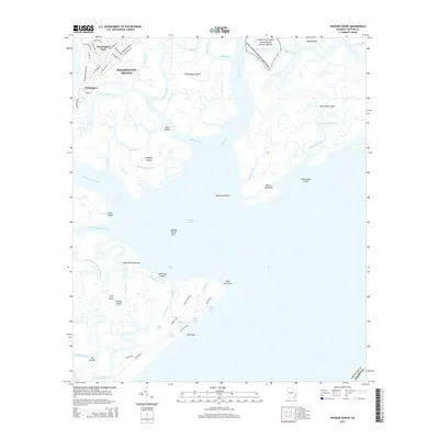
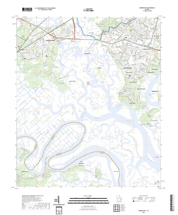
1957 Burroughs
Chatham County, GA
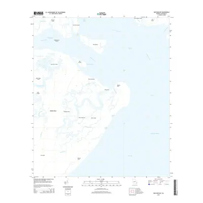
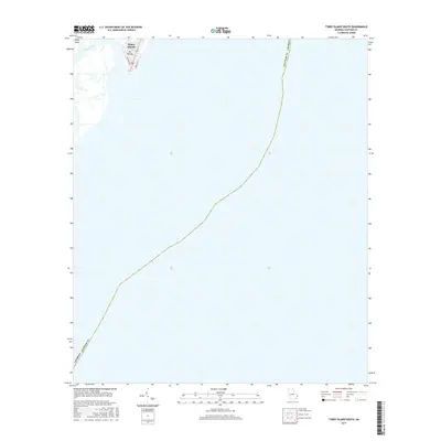
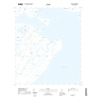
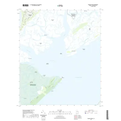
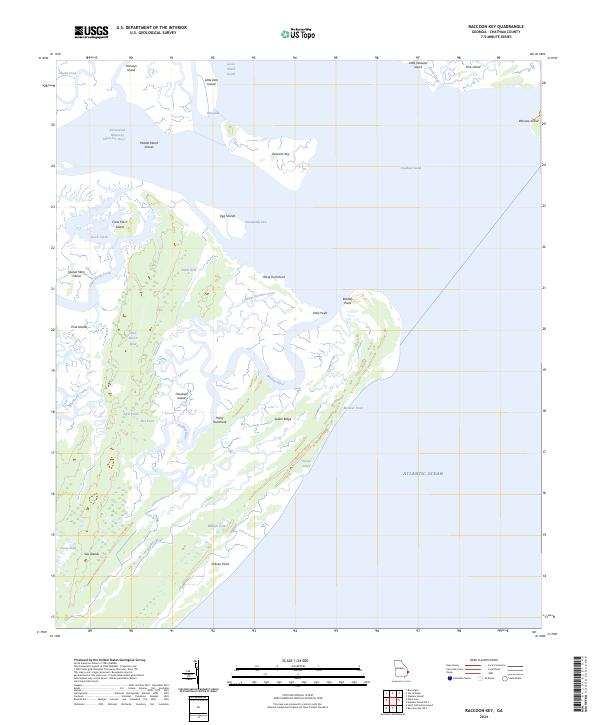
1957 Raccoon Key
Chatham County, GA
1957 Savannah Beach South
Chatham County, GA
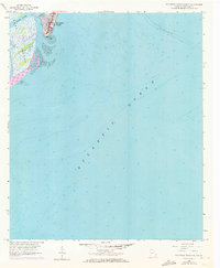
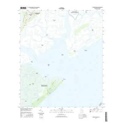
1957 Wassaw Sound
Chatham County, GA
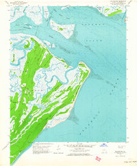
1958 Meldrim SE
Chatham County, GA
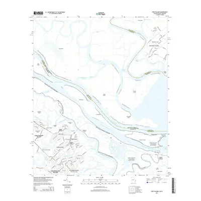
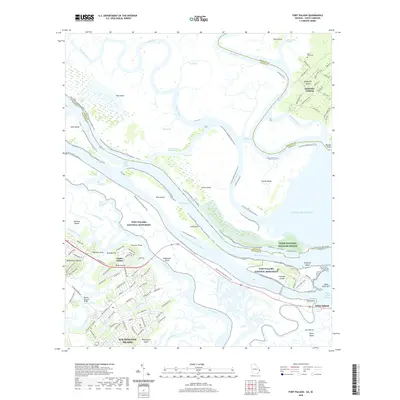
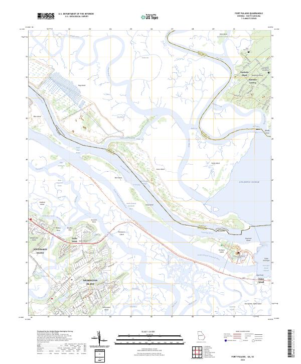
1978 Fort Pulaski
Chatham County, GA
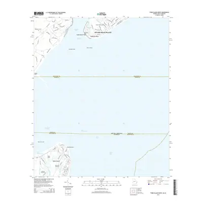
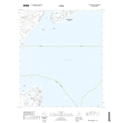
1978 Tybee Island North
Chatham County, GA
1978 Wassaw Sound
Chatham County, GA
1979 Burroughs
Chatham County, GA
1979 Raccoon Key
Chatham County, GA
1979 Tybee Island South
Chatham County, GA
1980 Wassaw Sound
Chatham County, GA
2011 Burroughs
Chatham County, GA
2011 Fort Pulaski
Chatham County, GA
2011 Raccoon Key
Chatham County, GA

2011 Raccoon Key OE S
Chatham County, GA
2011 Tybee Island North
Chatham County, GA
2011 Tybee Island South
Chatham County, GA
2011 Wassaw Sound
Chatham County, GA

2011 Wassaw Sound OE S
Chatham County, GA

2012 Meldrim SE
Chatham County, GA
2014 Burroughs
Chatham County, GA
2014 Fort Pulaski
Chatham County, GA
2014 Meldrim SE
Chatham County, GA
2014 Raccoon Key
Chatham County, GA

2014 Raccoon Key OE S
Chatham County, GA
2014 Tybee Island North
Chatham County, GA

2014 Tybee Island South
Chatham County, GA
2014 Wassaw Sound
Chatham County, GA

2014 Wassaw Sound OE S
Chatham County, GA
2017 Burroughs
Chatham County, GA
2017 Fort Pulaski
Chatham County, GA
2017 Meldrim SE
Chatham County, GA
2017 Raccoon Key
Chatham County, GA

2017 Raccoon Key OE S
Chatham County, GA
2017 Tybee Island North
Chatham County, GA
2017 Tybee Island South
Chatham County, GA
2017 Wassaw Sound
Chatham County, GA

2017 Wassaw Sound OE S
Chatham County, GA
2020 Burroughs
Chatham County, GA
2020 Fort Pulaski
Chatham County, GA
2020 Meldrim SE
Chatham County, GA
2020 Raccoon Key
Chatham County, GA

2020 Raccoon Key OE S
Chatham County, GA
2020 Tybee Island North
Chatham County, GA

2020 Tybee Island South
Chatham County, GA
2020 Wassaw Sound
Chatham County, GA

2020 Wassaw Sound OE S
Chatham County, GA
2024 Burroughs
Chatham County, GA
2024 Fort Pulaski
Chatham County, GA
2024 Meldrim SE
Chatham County, GA
2024 Raccoon Key
Chatham County, GA
2024 Raccoon Key OE S
Chatham County, GA
2024 Tybee Island North
Chatham County, GA
2024 Tybee Island South
Chatham County, GA
2024 Wassaw Sound
Chatham County, GA
2024 Wassaw Sound OE S
Chatham County, GA