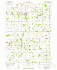
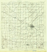
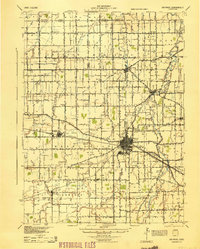
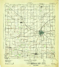
1960 Map of Middle Point
USGS Topo · Published 1961About this map
Middle Point serves as a primary rail hub in this corner of Van Wert County, situated along the Pennsylvania line where industrial quarries operated just west of the town center. The landscape is defined by the winding course of the Little Auglaize River and its tributaries, including Dog Creek and Spice Run, which cut through a strictly organized grid of township roads. To the south, the settlement of Venedocia and the small community of Landeck anchor the farming districts, connected by the New York Chicago and St Louis railroad. This 1960 survey illustrates the deep-rooted agricultural and civic structure of the region, visible in the distributed locations of King Cem, Horeb Cem, and Wright Cem. The intersection of multiple township lines, such as Ridge, York, and Jennings, highlights the formal administrative organization of these Ohio farm lands during the mid-century.
Find a feature on this map
51 named features on this map. Tap any name to fly to it.
Don’t see what you’re looking for? This feature index may not catch every label — zoom into the map to look around manually.
Map Details
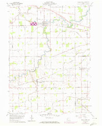
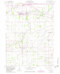
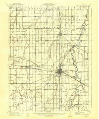
Editions of this 1960 Middle Point Map
Other maps of this area

1911 · Spencerville
USGS Topo · 1:62,500
1911 · Delphos
USGS Topo · 1:62,500

1914 · Celina
USGS Topo · 1:62,500
1914 · Van Wert
USGS Topo · 1:62,500
1944 · Delphos
USGS Topo · 1:62,500
1944 · Van Wert
USGS Topo · 1:62,500

1944 · Celina
USGS Topo · 1:62,500

1944 · Spencerville
USGS Topo · 1:62,500

1953 · Muncie
USGS Topo · 1:250,000

1956 · Muncie
USGS Topo · 1:250,000