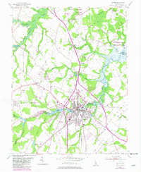
1954 Map of Milford
USGS Topo · Published 1982About this map
Milford serves as the central hub of this mid-century landscape, straddling the border of Kent and Sussex counties. The city's growth is oriented around Silver Lake and Haven Lake, with a dense collection of structures, a High Sch, and the IOOF Cemetery marking the urban core. To the west, the village of Houston sits along the Conrail line, reflecting the importance of rail transport to these agricultural communities. The surrounding countryside is dotted with rural landmarks like Church Hill Village and small congregations at Wesley Ch and Spring Hill Baptist Church.
Find a feature on this map
46 named features on this map. Tap any name to fly to it.
Don’t see what you’re looking for? This feature index may not catch every label — zoom into the map to look around manually.
Map Details
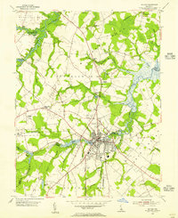
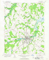
Editions of this 1954 Milford Map
3 editions found
Other maps of this area

1899 · Vineland
USGS Topo · 1:125,000

1899 · Dover
USGS Topo · 1:125,000

1906 · Dover
USGS Topo · 1:125,000

1918 · Cedar Creek
USGS Topo · 1:62,500

1918 · Harrington
USGS Topo · 1:62,500

1919 · Cedar Creek
USGS Topo · 1:62,500

1919 · Vineland
USGS Topo · 1:125,000

1920 · Dover
USGS Topo · 1:125,000

1926 · Wyoming
USGS Topo · 1:48,000

1930 · Wyoming
USGS Topo · 1:62,500