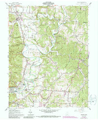
1961 Map of Minford
USGS Topo · Published 1990About this map
Little Scioto River and its intricate tributaries carve through the townships of Madison, Harrison, and Bloom in this detailed look at Scioto County. The industrial legacy of the region is evident at Scioto Furnace and Harrison Furnace Ch, while the local transportation network is anchored by Edmunds Switch and the County Airport. Settlement patterns show a cluster of communities and additions near the river, including Highland Bend, Slocum Heights, and Happy Hours Addition, reflecting mid-century residential growth.
Find a feature on this map
104 named features on this map. Tap any name to fly to it.
Don’t see what you’re looking for? This feature index may not catch every label — zoom into the map to look around manually.
Map Details
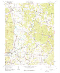
Editions of this 1961 Minford Map
2 editions found
Other maps of this area

1898 · Ironton
USGS Topo · 1:62,500

1900 · Ironton
USGS Topo · 1:62,500

1911 · Sciotoville
USGS Topo · 1:62,500

1912 · Oak Hill
USGS Topo · 1:62,500

1913 · Sciotoville
USGS Topo · 1:62,500

1926 · Greenup
USGS Topo · 1:48,000

1930 · Greenup
USGS Topo · 1:62,500
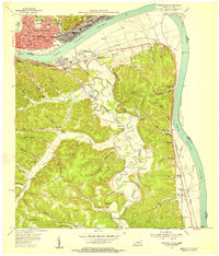
1953 · Portsmouth
USGS Topo · 1:24,000

1957 · Huntington
USGS Topo · 1:250,000

1960 · Huntington
USGS Topo · 1:250,000