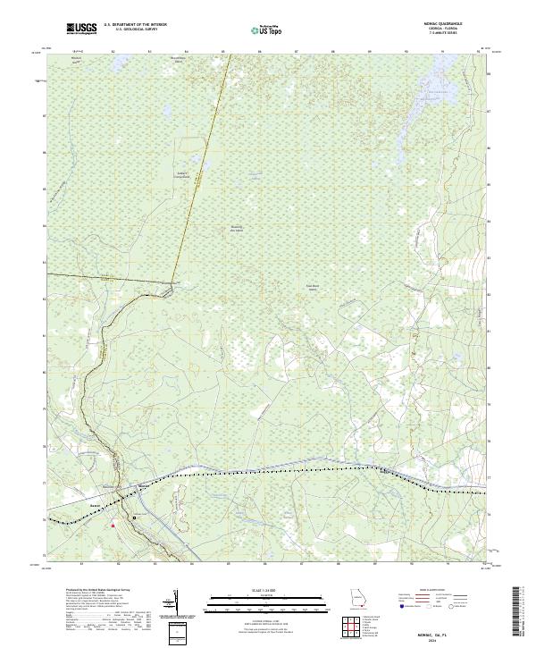
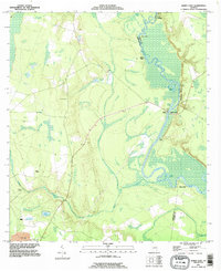
2024 Map of Moniac
USGS Topo · Published 2024About this map
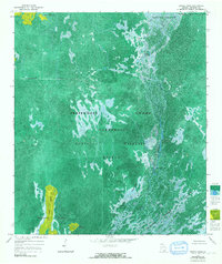
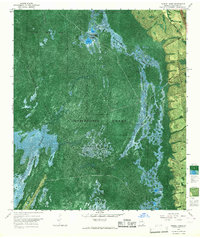
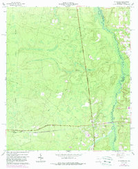
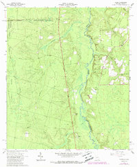
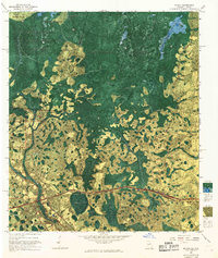
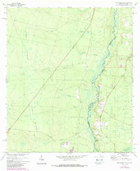
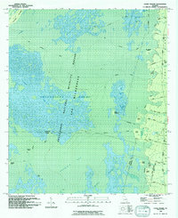
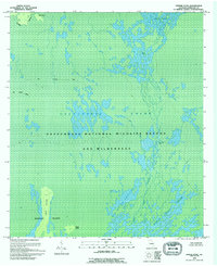
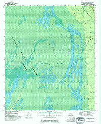
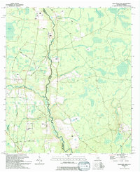
The Okefenokee National Wildlife Refuge dominates this southern Georgia landscape, where the Okefenokee Wilderness meets the winding Saint Marys River. The boundary between Georgia and Florida is defined here by the river's path and historical markers like Ellicotts Mound, a point of surveying significance along the state line. The southern portion of the map transitions from the swamp's interior islands, such as Soldiers Camp Island and Roasting Ear Island, into the small riverside settlements of Moniac and Baxter.
Find a feature on this map
45 named features on this map. Tap any name to fly to it.
Don’t see what you’re looking for? This feature index may not catch every label — zoom into the map to look around manually.
Map Details
Editions of this 2024 Moniac Map
This is the sole edition of this map. No revisions or reprints were ever made.
Historical Maps of Moniac Through Time
33 maps found
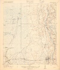
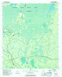
1918 Moniac
Charlton County, GA
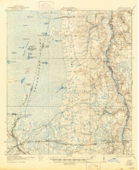
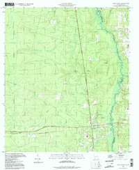
1942 Moniac
Charlton County, GA
1965 Chase Prairie
Charlton County, GA
1965 Dinner Pond
Charlton County, GA
1965 Double Lakes
Charlton County, GA
1966 Billys Island
Charlton County, GA
1966 Newell
Charlton County, GA
1966 St George
Charlton County, GA
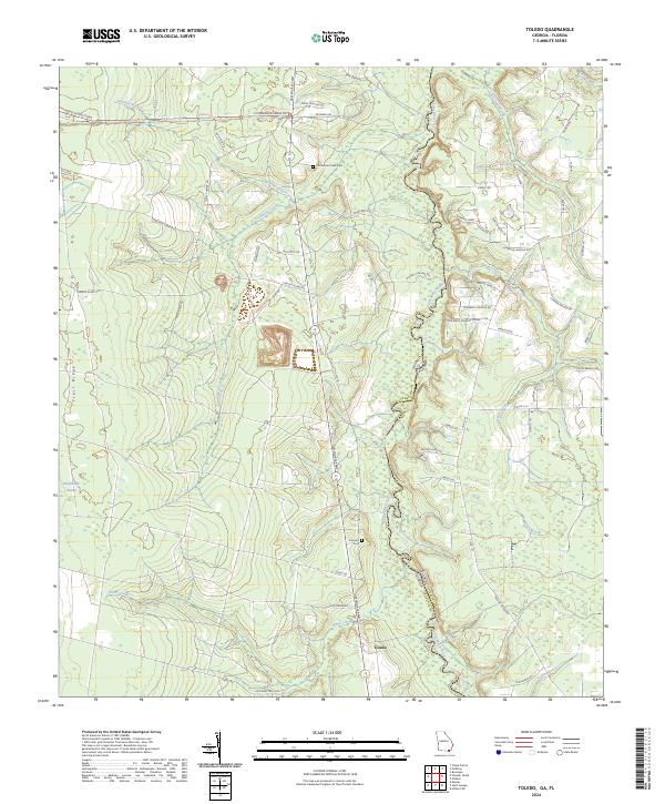
1966 Toledo
Charlton County, GA
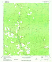
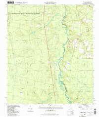
1967 Moniac
Charlton County, GA
1972 Macclenny NE
Charlton County, GA
1972 Macclenny NW
Charlton County, GA
1978 Burnt Fort
Charlton County, GA
1993 Burnt Fort
Charlton County, GA
1994 Billys Island
Charlton County, GA
1994 Chase Prairie
Charlton County, GA
1994 Dinner Pond
Charlton County, GA
1994 Double Lakes
Charlton County, GA
1994 Macclenny NW
Charlton County, GA
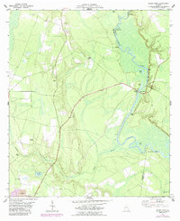
1994 Moniac
Charlton County, GA
1994 Saint George
Charlton County, GA
1994 Toledo
Charlton County, GA
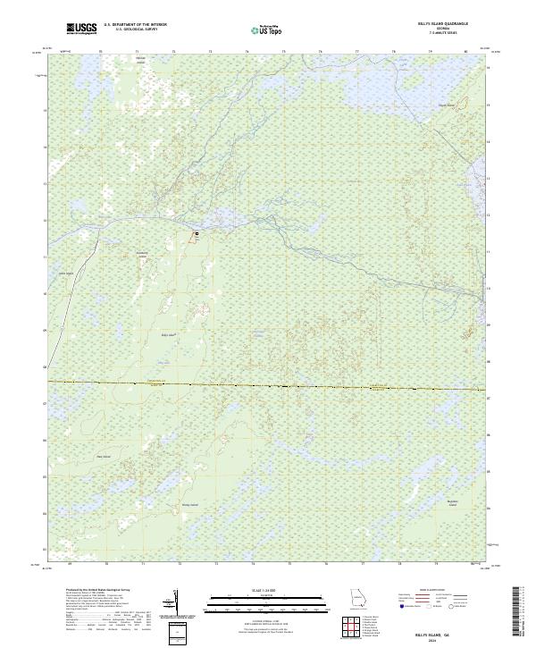
2024 Billys Island
Charlton County, GA
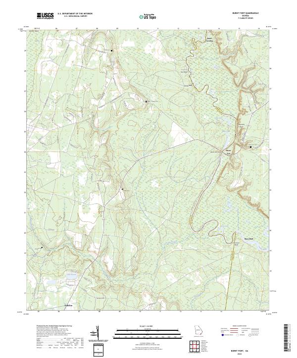
2024 Burnt Fort
Charlton County, GA
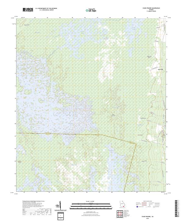
2024 Chase Prairie
Charlton County, GA
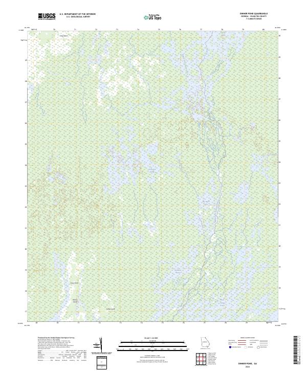
2024 Dinner Pond
Charlton County, GA
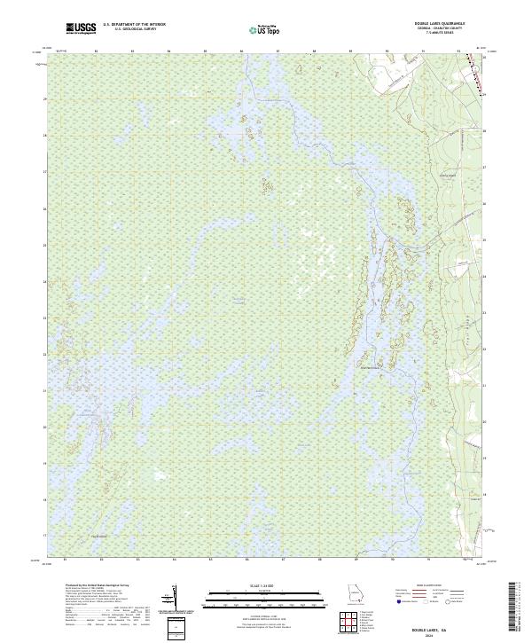
2024 Double Lakes
Charlton County, GA
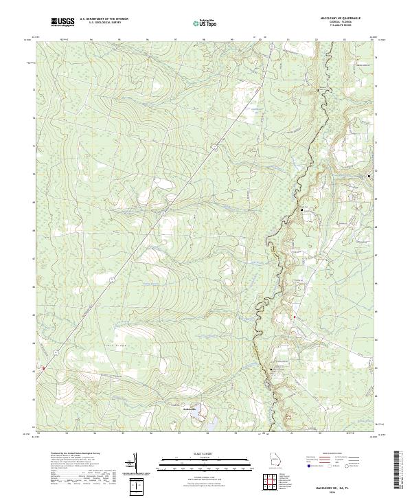
2024 Macclenny NE
Charlton County, GA
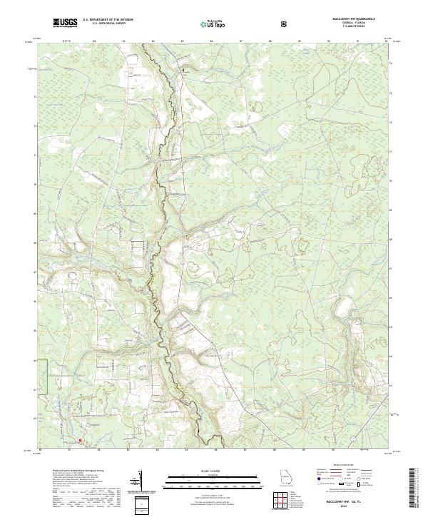
2024 Macclenny NW
Charlton County, GA
2024 Moniac
Charlton County, GA
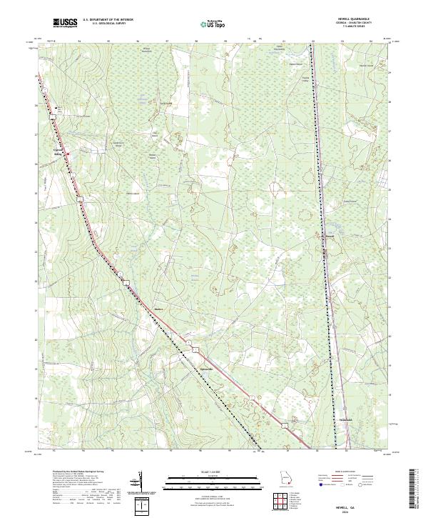
2024 Newell
Charlton County, GA
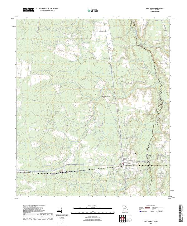
2024 Saint George
Charlton County, GA
2024 Toledo
Charlton County, GA