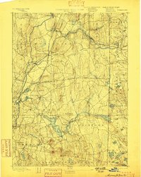
1893 Map of Moosup
USGS Topo · Published 1898About this map
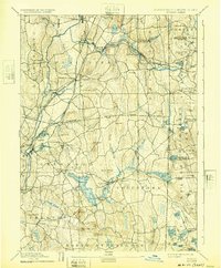
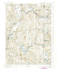
Moosup and its neighboring mill villages emerge as industrial anchors in this late 19th-century survey of the borderlands between Windham County, Connecticut, and western Rhode Island. The landscape is defined by the hydraulic power of the Quinebaug River and Moosup drainage, where settlements like Wauregan, Almyville, and Central Village grew alongside the water. The rail network of the era is remarkably dense, featuring the Norwich and Worcester Railroad and the New York and New England Railroad Providence Division meeting at Plainfield Junction. Further south, the terrain shifts into the sprawling wetlands and ridges of Griswold and Voluntown, dominated by the massive Pachaug Pond and the singular height of Mount Misery. The map also captures several rural hamlets like Hopkins Hollow and Escoheag just across the state line, reflecting the dispersed agricultural and timber economy that existed outside the primary manufacturing corridors.
Find a feature on this map
80 named features on this map. Tap any name to fly to it.
Don’t see what you’re looking for? This feature index may not catch every label — zoom into the map to look around manually.
Map Details
Editions of this 1893 Moosup Map
7 editions found

Other maps of this area

1889 · Stonington
USGS Topo · 1:62,500

1889 · Charlestown
USGS Topo · 1:62,500

1889 · Putnam
USGS Topo · 1:62,500

1889 · Burrillville
USGS Topo · 1:62,500

1889 · Moosup
USGS Topo · 1:62,500

1890 · Kent
USGS Topo · 1:62,500

1892 · Woodstock
USGS Topo · 1:62,500

1892 · New London
USGS Topo · 1:62,500

1892 · Norwich
USGS Topo · 1:62,500

1893 · Putnam
USGS Topo · 1:62,500