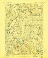
1893 Map of Moosup
USGS Topo · Published 1921About this map
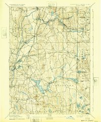
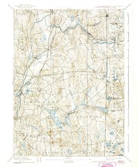
The Quinebaug River and its tributaries drive the industrial character of this eastern Connecticut and Rhode Island borderland. The landscape is defined by the convergence of several major rail lines, including the Norwich and Worcester Railroad and the Providence Division of the New York and New England Railroad, which supported bustling mill towns like Jewett City and Moosup.
Find a feature on this map
89 named features on this map. Tap any name to fly to it.
Don’t see what you’re looking for? This feature index may not catch every label — zoom into the map to look around manually.
Map Details
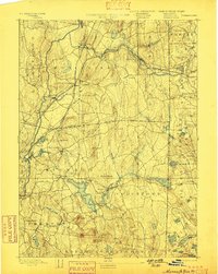
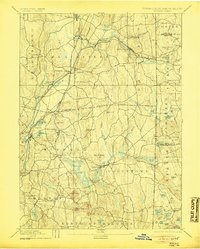
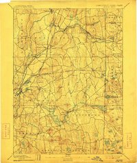
Editions of this 1893 Moosup Map
7 editions found

Other maps of this area

1889 · Stonington
USGS Topo · 1:62,500

1889 · Charlestown
USGS Topo · 1:62,500

1889 · Putnam
USGS Topo · 1:62,500

1889 · Burrillville
USGS Topo · 1:62,500

1889 · Moosup
USGS Topo · 1:62,500

1890 · Kent
USGS Topo · 1:62,500

1892 · Woodstock
USGS Topo · 1:62,500

1892 · New London
USGS Topo · 1:62,500

1892 · Norwich
USGS Topo · 1:62,500

1893 · Putnam
USGS Topo · 1:62,500