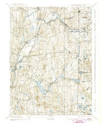
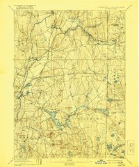
1893 Map of Moosup
USGS Topo · Published 1941About this map
Moosup and Plainfield serve as the primary hubs of this late-19th-century landscape, where the Quinebaug River and Moosup River powered early industrial development along the border of Connecticut and Rhode Island. The map illustrates a complex network of transportation, most notably the New York and New England Railroad and the Norwich and Worcester Railroad, which converge at Plainfield Junction. This rail infrastructure was critical for moving goods from villages like Sterling Station and Almyville to broader markets.
Find a feature on this map
87 named features on this map. Tap any name to fly to it.
Don’t see what you’re looking for? This feature index may not catch every label — zoom into the map to look around manually.
Map Details
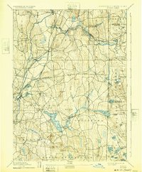
Editions of this 1893 Moosup Map
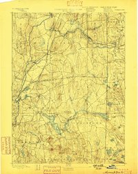
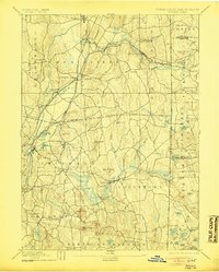
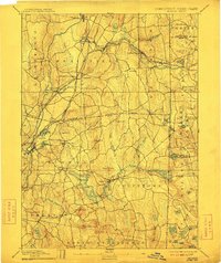
7 editions found

Other maps of this area

1889 · Stonington
USGS Topo · 1:62,500

1889 · Charlestown
USGS Topo · 1:62,500

1889 · Putnam
USGS Topo · 1:62,500

1889 · Burrillville
USGS Topo · 1:62,500

1889 · Moosup
USGS Topo · 1:62,500

1890 · Kent
USGS Topo · 1:62,500

1892 · Woodstock
USGS Topo · 1:62,500

1892 · New London
USGS Topo · 1:62,500

1892 · Norwich
USGS Topo · 1:62,500

1893 · Putnam
USGS Topo · 1:62,500