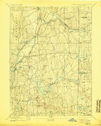
1893 Map of Moosup
USGS Topo · Published 1905About this map
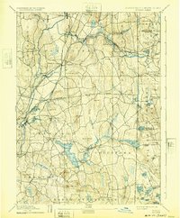
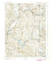
Industrial villages and small farming hamlets define the borderlands of Windham and New London counties during the late nineteenth century. The Quinebaug River and Pachaug River corridors anchor the region's economy, supporting mill settlements like Wauregan, Pachaug, and Glasgo. The map illustrates a complex network of rail infrastructure, including the New York and New England Railroad Moosup Division and the Norwich and Worcester Railroad, which converge at Plainfield Junction. This transit network facilitated the movement of goods between manufacturing centers like Moosup and rural outposts across the Rhode Island Connecticut Boundary Line. To the south and east, the landscape transitions into the hills of Voluntown and Exeter, where family-named landmarks like Pendleton Hill and Hopkins Hollow reflect the area's deep-rooted agricultural and domestic history.
Find a feature on this map
87 named features on this map. Tap any name to fly to it.
Don’t see what you’re looking for? This feature index may not catch every label — zoom into the map to look around manually.
Map Details
Editions of this 1893 Moosup Map
7 editions found

Other maps of this area

1889 · Stonington
USGS Topo · 1:62,500

1889 · Charlestown
USGS Topo · 1:62,500

1889 · Putnam
USGS Topo · 1:62,500

1889 · Burrillville
USGS Topo · 1:62,500

1889 · Moosup
USGS Topo · 1:62,500

1890 · Kent
USGS Topo · 1:62,500

1892 · Woodstock
USGS Topo · 1:62,500

1892 · New London
USGS Topo · 1:62,500

1892 · Norwich
USGS Topo · 1:62,500

1893 · Putnam
USGS Topo · 1:62,500