
1893 Map of Moosup
USGS Topo · Published 1893About this map
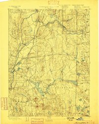
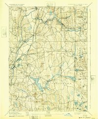
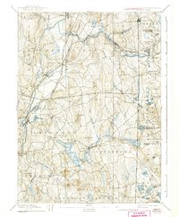
Plainfield Junction serves as a critical rail nexus in this late 19th-century survey, where the New York and New England Railroad intersects with the Norwich and Worcester Railroad. This transportation network supported a string of industrial and residential clusters along the Moosup River, including Almyville, Moosup, and Sterling Station. The landscape is defined by its numerous glacial ponds and the drainage of the Quinebaug River to the west.
Find a feature on this map
82 named features on this map. Tap any name to fly to it.
Don’t see what you’re looking for? This feature index may not catch every label — zoom into the map to look around manually.
Map Details
Editions of this 1893 Moosup Map
7 editions found
Other maps of this area

1889 · Stonington
USGS Topo · 1:62,500

1889 · Charlestown
USGS Topo · 1:62,500

1889 · Putnam
USGS Topo · 1:62,500

1889 · Burrillville
USGS Topo · 1:62,500

1889 · Moosup
USGS Topo · 1:62,500

1890 · Kent
USGS Topo · 1:62,500

1892 · Woodstock
USGS Topo · 1:62,500

1892 · New London
USGS Topo · 1:62,500

1892 · Norwich
USGS Topo · 1:62,500

1893 · Putnam
USGS Topo · 1:62,500