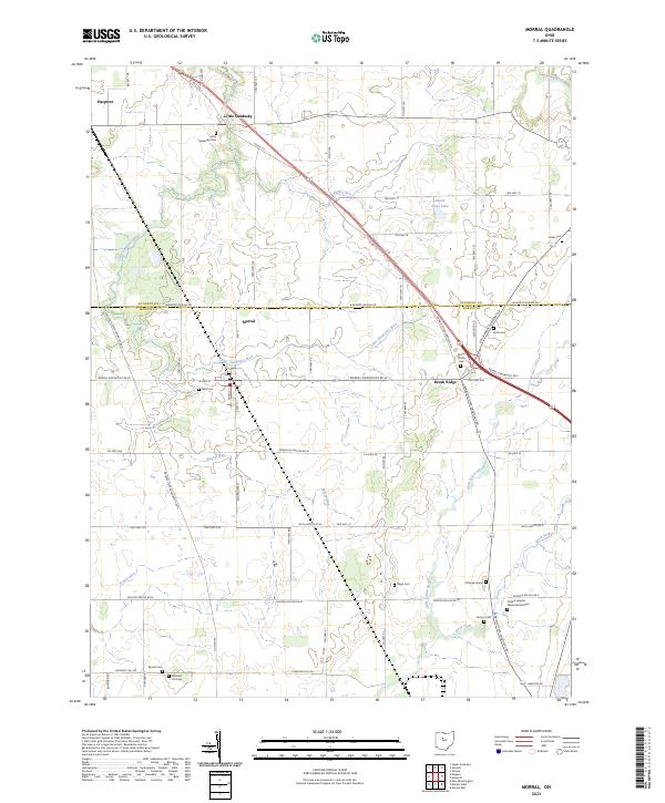
2023 Map of Morral
USGS Topo · Published 2023About this map
Morral sits at the intersection of agricultural grid-lines and wandering waterways where the Little Sandusky River and Morral Run cross the northern plains of Marion County. This 2023 survey illustrates a landscape deeply rooted in family and community history, evidenced by an unusually dense concentration of burial sites including the Fitzhugh Grave, Page Cem, and the expansive Chapel Heights Memorial Gardens. The terrain is defined by the transition between the Sandusky and Scioto watersheds, with the Little Scioto River appearing in the southeast.
Find a feature on this map
80 named features on this map. Tap any name to fly to it.
Don’t see what you’re looking for? This feature index may not catch every label — zoom into the map to look around manually.
Map Details
Editions of this 2023 Morral Map
This is the sole edition of this map. No revisions or reprints were ever made.
Other maps of this area

1903 · Marion
USGS Topo · 1:62,500

1905 · Marion
USGS Topo · 1:62,500

1906 · Sycamore
USGS Topo · 1:62,500

1907 · Upper Sandusky
USGS Topo · 1:62,500

1915 · La Rue
USGS Topo · 1:62,500

1950 · Marion
USGS Topo · 1:250,000

1960 · Oceola
USGS Topo · 1:24,000

1960 · Nevada
USGS Topo · 1:24,000
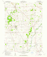
1960 · Morral
USGS Topo · 1:24,000

1960 · Upper Sandusky
USGS Topo · 1:24,000