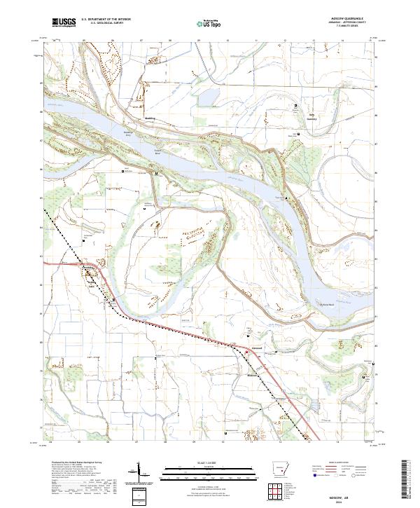
2024 Map of Moscow
USGS Topo · Published 2024About this map
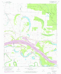
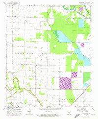
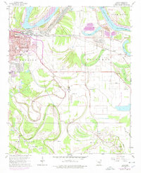
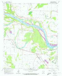
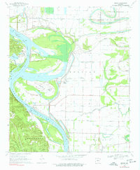
The Arkansas River defines the geography of this Jefferson County region, winding through distinct river bends such as Trulock Bend and Richland Bend. The landscape is deeply tied to the movement of water, with several old channel features and bayous including Old Channel Plum Bayou, Jacks Bayou, and Cousart Bayou marking the alluvial plains. This environment supported a network of river-oriented settlements like New Gascony, Linwood, and Moscow, alongside historical crossing points like Maddings Ferry.
Find a feature on this map
60 named features on this map. Tap any name to fly to it.
Don’t see what you’re looking for? This feature index may not catch every label — zoom into the map to look around manually.
Map Details
Editions of this 2024 Moscow Map
This is the sole edition of this map. No revisions or reprints were ever made.
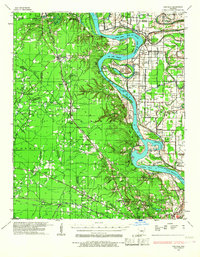
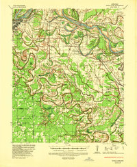
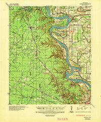
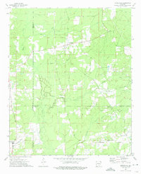
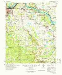
Historical Maps of Madding Through Time
23 maps found
1932 Pastoria
Jefferson County, AR
1935 Noble Lake
Jefferson County, AR
1935 Pastoria
Jefferson County, AR
1962 Pine Bluff NW
Jefferson County, AR
1964 Cornerstone
Jefferson County, AR
1964 Gethsemane
Jefferson County, AR
1964 Ladd
Jefferson County, AR
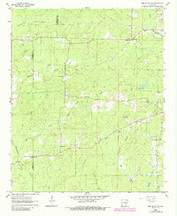
1964 Moscow
Jefferson County, AR
1964 Reydell
Jefferson County, AR
1964 Rob Roy
Jefferson County, AR
1970 Hardin
Jefferson County, AR
1970 Wright
Jefferson County, AR
1973 Cornerstone
Jefferson County, AR
1978 Noble Lake
Jefferson County, AR
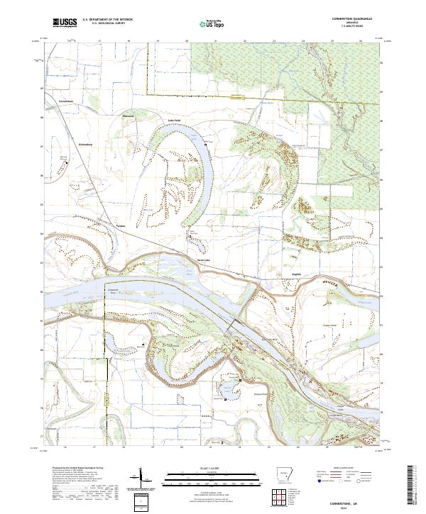
2024 Cornerstone
Jefferson County, AR
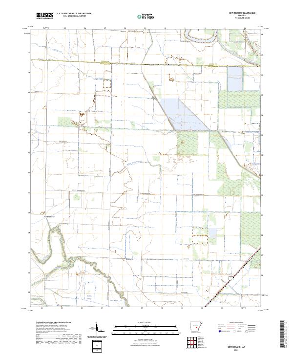
2024 Gethsemane
Jefferson County, AR
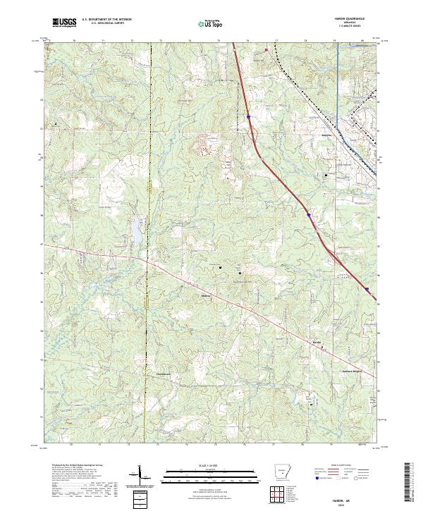
2024 Hardin
Jefferson County, AR
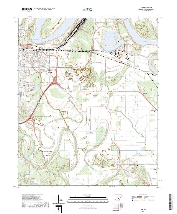
2024 Ladd
Jefferson County, AR
2024 Moscow
Jefferson County, AR
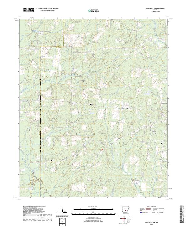
2024 Pine Bluff NW
Jefferson County, AR
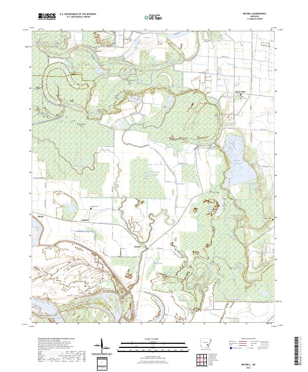
2024 Reydell
Jefferson County, AR
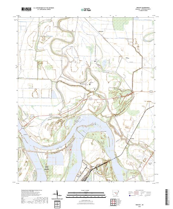
2024 Rob Roy
Jefferson County, AR
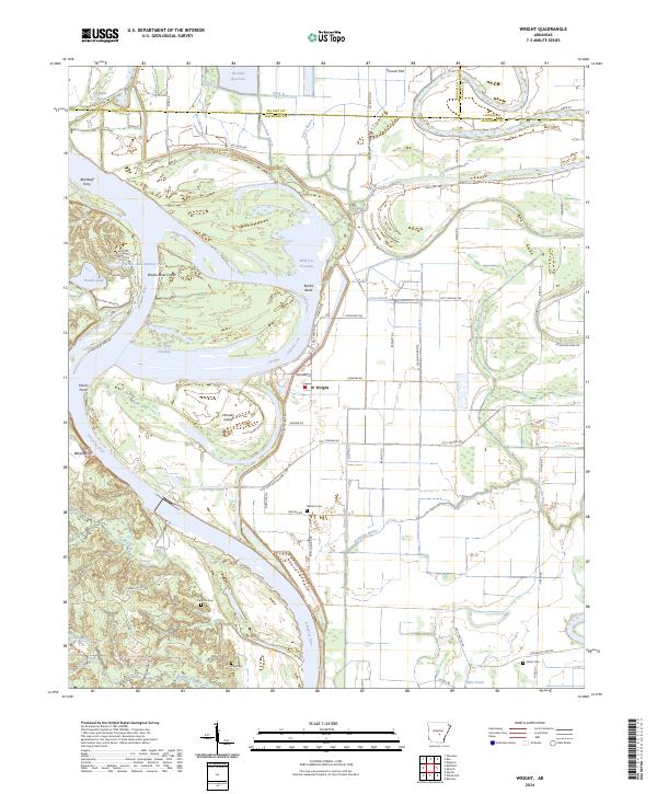
2024 Wright
Jefferson County, AR