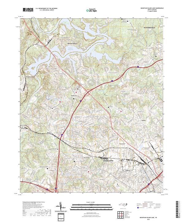
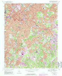
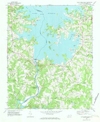
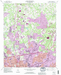
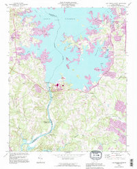
2023 Map of Mountain Island Lake
USGS Topo · Published 2023About this map
Mountain Island Lake and the winding course of Long Creek dominate the landscape of the Mecklenburg-Gaston county line, where the suburban expansion of Charlotte meets established rural communities. This area is exceptionally rich in genealogical landmarks, documented through numerous historic burial grounds such as Hopewell Presbyterian Church Cem and Saint Marks Church Cem. The map reveals a transition from the structured residential blocks of Huntersville and Mount Holly to the scattered settlements of Shuffletown, Paw Creek, and Toddville. The presence of the CSX Transportation rail corridor and major thoroughfares like Brookshire Blvd and Rozzelles Ferry Rd highlights the transportation networks that have shaped this corridor. Notable features such as The Neck on the lake and the Mecklenburg Wildlife Club Lake illustrate the area's mix of recreation and conservation within the Piedmont region.
Find a feature on this map
54 named features on this map. Tap any name to fly to it.
Don’t see what you’re looking for? This feature index may not catch every label — zoom into the map to look around manually.
Map Details
Editions of this 2023 Mountain Island Lake Map
This is the sole edition of this map. No revisions or reprints were ever made.
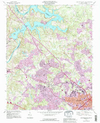
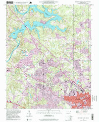
Historical Maps of Oakdale Forest Through Time
25 maps found

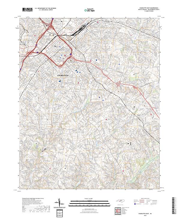
1948 Charlotte East
Mecklenburg County, NC
1948 Charlotte West
Mecklenburg County, NC
1948 Derita
Mecklenburg County, NC

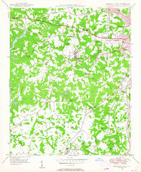
1948 Paw Creek
Mecklenburg County, NC
1949 Charlotte East
Mecklenburg County, NC
1949 Charlotte West
Mecklenburg County, NC
1949 Hicks Crossroads
Mecklenburg County, NC
1949 Wilgrove
Mecklenburg County, NC
1967 Charlotte East
Mecklenburg County, NC
1968 Charlotte West
Mecklenburg County, NC
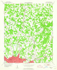
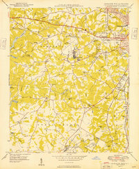
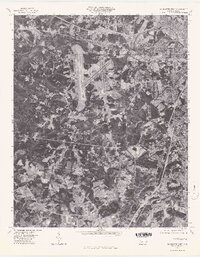
1969 Mountain Island Lake
Mecklenburg County, NC
1970 Lake Norman South
Mecklenburg County, NC
1972 Derita
Mecklenburg County, NC
1976 Charlotte West
Mecklenburg County, NC
1976 Derita
Mecklenburg County, NC
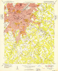
1993 Charlotte West
Mecklenburg County, NC
1993 Derita
Mecklenburg County, NC
1993 Lake Norman South
Mecklenburg County, NC
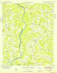
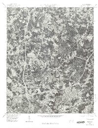
1993 Mountain Island Lake
Mecklenburg County, NC
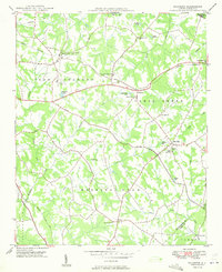
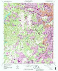
1997 Mountain Island Lake
Mecklenburg County, NC
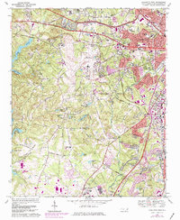
2022 Charlotte East
Mecklenburg County, NC
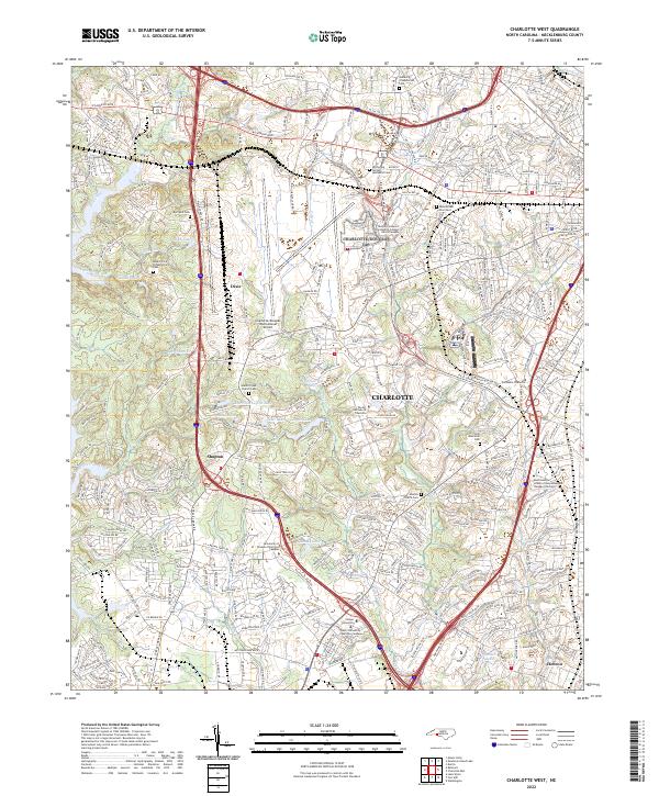
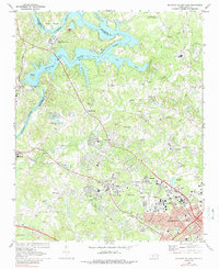
2022 Charlotte West
Mecklenburg County, NC
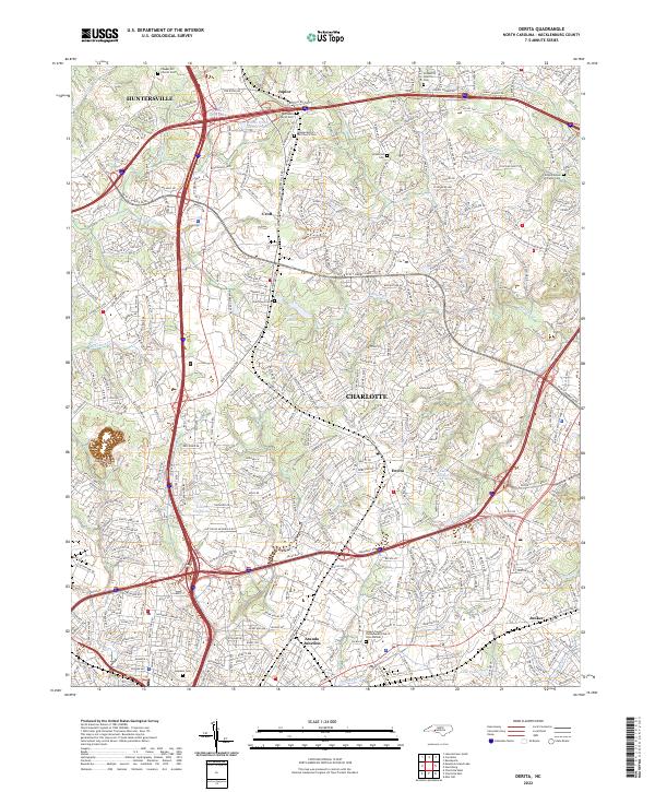
2022 Derita
Mecklenburg County, NC
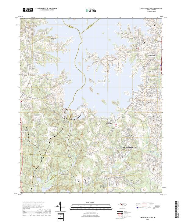
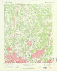
2022 Lake Norman South
Mecklenburg County, NC
2023 Mountain Island Lake
Mecklenburg County, NC