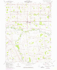
1961 Map of New Bloomington
USGS Topo · Published 1975About this map
The Scioto River meanders across the central landscape of this western Marion County survey, defining the agricultural character of the region in the early 1960s. New Bloomington (Agosta Station) serves as a primary hub, situated where the Penn Central rail line cuts through the prairie. The map captures a moment of transition for the rail network, showing both the Penn Central and the Erie Lackawanna corridors as they serve small agricultural centers like De Cliff and Espyville.
Find a feature on this map
52 named features on this map. Tap any name to fly to it.
Don’t see what you’re looking for? This feature index may not catch every label — zoom into the map to look around manually.
Map Details
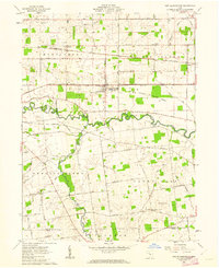
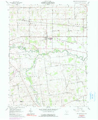
Editions of this 1961 New Bloomington Map
3 editions found
Other maps of this area

1903 · Marion
USGS Topo · 1:62,500

1905 · Marion
USGS Topo · 1:62,500

1913 · Richwood
USGS Topo · 1:62,500

1915 · Richwood
USGS Topo · 1:62,500

1915 · La Rue
USGS Topo · 1:62,500

1924 · Delaware
USGS Topo · 1:62,500

1925 · Delaware
USGS Topo · 1:62,500

1944 · Richwood
USGS Topo · 1:62,500

1944 · Delaware
USGS Topo · 1:62,500

1950 · Marion
USGS Topo · 1:250,000
Featured Places
- New Bloomington, OH
- DeCliff, OH
- Big Island Township, OH
- Bowling Green Township, OH
- Green Camp Township, OH