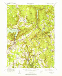
1955 Map of New Preston
USGS Topo · Published 1956About this map
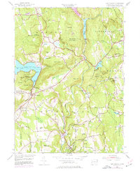
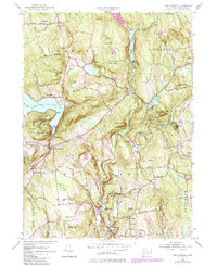
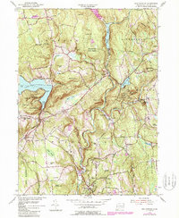
The hills of Litchfield County define this mid-century landscape, where the Shepaug River carves a deep valley between Mount Rat and the ridges of the Wyantenock State Forest. High above the Aspetuck River, the village of New Preston and the older settlement at New Preston Hill overlook the eastern shores of Lake Waramaug. This region serves as a notable center for education and recreation, featuring the Rumsey Hall Sch and Gunnery Sch alongside preserved spaces like Mt Bushnell State Park. The map documents a transition in local infrastructure, showing a telephone line traversing the northern heights near Warren and the Washington Golf Course south of Washington Depot. From the quiet waters of Eel Pond to the residential clusters at Marble Dale, the layout of 1955 reflects a community deeply integrated with its rugged topography and glacial water bodies.
Find a feature on this map
81 named features on this map. Tap any name to fly to it.
Don’t see what you’re looking for? This feature index may not catch every label — zoom into the map to look around manually.
Map Details
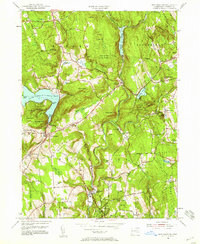
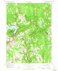
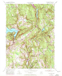
Editions of this 1955 New Preston Map
7 editions found
Other maps of this area

1892 · Winsted
USGS Topo · 1:62,500

1892 · Cornwall
USGS Topo · 1:62,500

1892 · New Milford
USGS Topo · 1:62,500

1893 · Waterbury
USGS Topo · 1:62,500

1893 · New Milford
USGS Topo · 1:62,500

1893 · Cornwall
USGS Topo · 1:62,500

1903 · Cornwall
USGS Topo · 1:62,500

1904 · New Milford
USGS Topo · 1:62,500

1904 · Waterbury
USGS Topo · 1:62,500

1904 · Litchfield
USGS Topo · 1:125,000