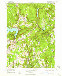
1955 Map of New Preston
USGS Topo · Published 1958About this map
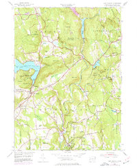
Washington Depot and the surrounding villages of the Litchfield Hills are captured here during a period of post-war stability in the mid-1950s. The landscape is defined by the winding course of the Shepaug River and the steep elevations of the Berkshires' southern reaches, including Mount Rat and Baldwin Hill. Education and recreation appear as central local institutions, evidenced by the grounds of the Gunnery Sch, Rumsey Hall Sch, and the Washington Golf Course. The shoreline of Waramaug Lake is notably developed with specific landings like Cheeree Point and Marks Hollow Point, while conservation areas such as Wyantenock State Forest and Mt Tom State Park preserve the wooded heights. For genealogists, the map identifies small rural burial grounds like Judea Cem and the distinct neighborhoods of Church Hill and Lower Church Hill.
Find a feature on this map
74 named features on this map. Tap any name to fly to it.
Don’t see what you’re looking for? This feature index may not catch every label — zoom into the map to look around manually.
Map Details
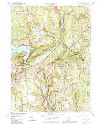
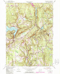
Editions of this 1955 New Preston Map
7 editions found
Other maps of this area

1892 · Winsted
USGS Topo · 1:62,500

1892 · Cornwall
USGS Topo · 1:62,500

1892 · New Milford
USGS Topo · 1:62,500

1893 · Waterbury
USGS Topo · 1:62,500

1893 · New Milford
USGS Topo · 1:62,500

1893 · Cornwall
USGS Topo · 1:62,500

1903 · Cornwall
USGS Topo · 1:62,500

1904 · New Milford
USGS Topo · 1:62,500

1904 · Waterbury
USGS Topo · 1:62,500

1904 · Litchfield
USGS Topo · 1:125,000