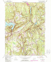
1955 Map of New Preston
USGS Topo · Published 1988About this map
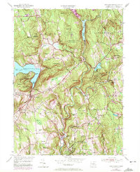
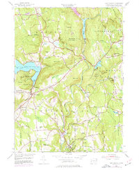
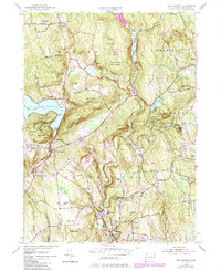
Washington Depot and New Preston serve as the primary anchors of this mid-century Litchfield County landscape, situated where the Shepaug River carves through the uplands. The 1955 survey, later updated in the 1980s, reveals a high concentration of private educational institutions including Rumsey Hall Sch, Gunnery Sch, and Tuller Sch, reflecting the area's long-standing character as a center for learning. The terrain is marked by dramatic elevation changes, from the shores of Lake Waramaug to the heights of Above All and Mount Bushnell. The local economy of the era is evidenced by the Bantam RR corridor through Bantam and the presence of the Shepaug River Reservoir. Prominent landmarks such as Mt Tom State Park and Wyantenock State Forest dominate the central peaks, while smaller family and ecclesiastical markers like Judes Cem and Church Hill denote the historical settlement patterns of towns like Warren and Washington.
Find a feature on this map
85 named features on this map. Tap any name to fly to it.
Don’t see what you’re looking for? This feature index may not catch every label — zoom into the map to look around manually.
Map Details
Editions of this 1955 New Preston Map
7 editions found
Other maps of this area

1892 · Winsted
USGS Topo · 1:62,500

1892 · Cornwall
USGS Topo · 1:62,500

1892 · New Milford
USGS Topo · 1:62,500

1893 · Waterbury
USGS Topo · 1:62,500

1893 · New Milford
USGS Topo · 1:62,500

1893 · Cornwall
USGS Topo · 1:62,500

1903 · Cornwall
USGS Topo · 1:62,500

1904 · New Milford
USGS Topo · 1:62,500

1904 · Waterbury
USGS Topo · 1:62,500

1904 · Litchfield
USGS Topo · 1:125,000