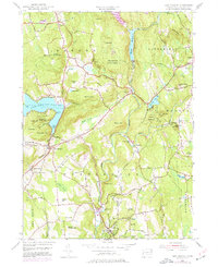
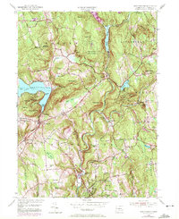
1955 Map of New Preston
USGS Topo · Published 1977About this map
Lake Waramaug defines the northwestern corner of this Litchfield County landscape, its irregular shoreline dotted with landmarks like Cheeree Point and Marks Hollow Point. In the mid-1950s, the village of New Preston served as a gateway to the water, while to the south, Washington Depot and Washington functioned as the primary civic and educational hubs. The presence of specialized institutions such as Rumsey Hall Sch, Tuller Sch, and Gunnery Sch indicates the area's long-standing role as an educational center.
Find a feature on this map
94 named features on this map. Tap any name to fly to it.
Don’t see what you’re looking for? This feature index may not catch every label — zoom into the map to look around manually.
Map Details
Editions of this 1955 New Preston Map
7 editions found
Other maps of this area

1892 · Winsted
USGS Topo · 1:62,500

1892 · Cornwall
USGS Topo · 1:62,500

1892 · New Milford
USGS Topo · 1:62,500

1893 · Waterbury
USGS Topo · 1:62,500

1893 · New Milford
USGS Topo · 1:62,500

1893 · Cornwall
USGS Topo · 1:62,500

1903 · Cornwall
USGS Topo · 1:62,500

1904 · New Milford
USGS Topo · 1:62,500

1904 · Waterbury
USGS Topo · 1:62,500

1904 · Litchfield
USGS Topo · 1:125,000