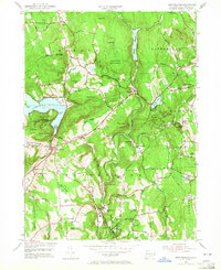
1955 Map of New Preston
USGS Topo · Published 1965About this map
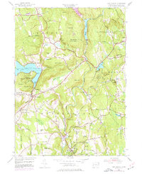
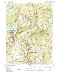
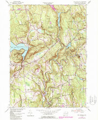
The Aspetuck River and Shepaug River define the winding drainage patterns of this Litchfield County landscape, anchoring settlements like Washington Depot and New Preston. In the mid-1950s, the area reflects a well-established educational and recreational character, evidenced by the presence of the Gunnery Sch and Rumsey Hall Sch, alongside the sprawling waters of Lake Waramaug. The map reveals a high concentration of named summits and ridges, from The Pinnacle to Mount Rat, which hem in the narrow valleys where roads like Sabbath Day Lane and Blackville Road connect small villages.
Find a feature on this map
78 named features on this map. Tap any name to fly to it.
Don’t see what you’re looking for? This feature index may not catch every label — zoom into the map to look around manually.
Map Details
Editions of this 1955 New Preston Map
7 editions found
Other maps of this area

1892 · Winsted
USGS Topo · 1:62,500

1892 · Cornwall
USGS Topo · 1:62,500

1892 · New Milford
USGS Topo · 1:62,500

1893 · Waterbury
USGS Topo · 1:62,500

1893 · New Milford
USGS Topo · 1:62,500

1893 · Cornwall
USGS Topo · 1:62,500

1903 · Cornwall
USGS Topo · 1:62,500

1904 · New Milford
USGS Topo · 1:62,500

1904 · Waterbury
USGS Topo · 1:62,500

1904 · Litchfield
USGS Topo · 1:125,000