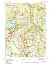
1955 Map of New Preston
USGS Topo · Published 1984About this map
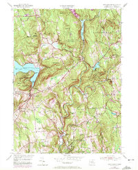
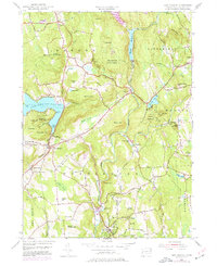
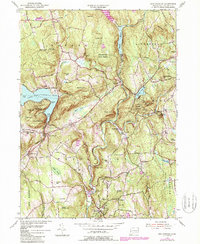
Lake Waramaug serves as a focal point for this Litchfield County landscape, with its irregular shoreline defined by Arrow Point, Randalls Point, and Cheeree Point. The map captures the mid-century character of several distinct villages, including New Preston, Washington Depot, and Marble Dale. The upland terrain is heavily marked by state-managed lands such as Wyantenock State Forest and Above All State Park, reflecting a region committed to conservation amidst its small-town development.
Find a feature on this map
79 named features on this map. Tap any name to fly to it.
Don’t see what you’re looking for? This feature index may not catch every label — zoom into the map to look around manually.
Map Details
Editions of this 1955 New Preston Map
7 editions found
Other maps of this area

1892 · Winsted
USGS Topo · 1:62,500

1892 · Cornwall
USGS Topo · 1:62,500

1892 · New Milford
USGS Topo · 1:62,500

1893 · Waterbury
USGS Topo · 1:62,500

1893 · New Milford
USGS Topo · 1:62,500

1893 · Cornwall
USGS Topo · 1:62,500

1903 · Cornwall
USGS Topo · 1:62,500

1904 · New Milford
USGS Topo · 1:62,500

1904 · Waterbury
USGS Topo · 1:62,500

1904 · Litchfield
USGS Topo · 1:125,000