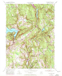
1955 Map of New Preston
USGS Topo · Published 1972About this map
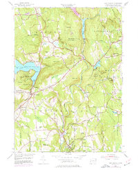
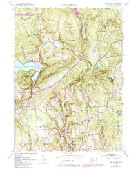
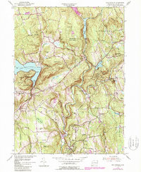
Washington Depot and the village of Washington anchor the southern portion of this mid-century landscape, where the Shepaug River carves through a terrain of named drumlins and peaks. To the west, the shores of Lake Waramaug are marked by residential developments at Randalls Pt and Cheeree Point, framed by the elevations of Mount Bushnell and Tinker Hill. The 1955 survey captures an established educational and recreational corridor, featuring the Gunnery Sch and Rumsey Hall Sch alongside the Washington Golf Course. Further north, the Shepaug Reservoir and Wyantenock State Forest dominate the hills near Warren. This era shows the local infrastructure of the Bantam Railroad and historic burial grounds like Judea Cem, providing a clear look at Litchfield County before modern suburban expansion fully altered the rural character of these hilltop settlements.
Find a feature on this map
82 named features on this map. Tap any name to fly to it.
Don’t see what you’re looking for? This feature index may not catch every label — zoom into the map to look around manually.
Map Details
Editions of this 1955 New Preston Map
7 editions found
Other maps of this area

1892 · Winsted
USGS Topo · 1:62,500

1892 · Cornwall
USGS Topo · 1:62,500

1892 · New Milford
USGS Topo · 1:62,500

1893 · Waterbury
USGS Topo · 1:62,500

1893 · New Milford
USGS Topo · 1:62,500

1893 · Cornwall
USGS Topo · 1:62,500

1903 · Cornwall
USGS Topo · 1:62,500

1904 · New Milford
USGS Topo · 1:62,500

1904 · Waterbury
USGS Topo · 1:62,500

1904 · Litchfield
USGS Topo · 1:125,000