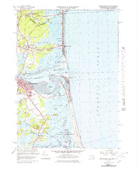
1966 Map of Newburyport East
USGS Topo · Published 1979About this map
The Merrimack River serves as the central artery for this coastal landscape, where the Newburyport waterfront meets the sprawling tidal flats of Joppa Flats. On the northern shore, the transition from Salisbury to Salisbury Beach is marked by a concentration of local landmarks, including the Drive-in Theater and numerous burial grounds like Long Hill Cem and Maplewood Cem. The map illustrates a maritime economy and leisure culture, from the Newburyport Light and U S Coast Guard Station on Plum Island to the extensive Parker River National Wildlife Refuge. Further inland, the Boston and Maine railroad line cuts through the terrain, connecting the older settlements of Newbury Old Town and South Seabrook. This mid-century survey reveals a coastline defined by intricate waterways like Pine Island Creek and the Blackwater River, reflecting the region's enduring relationship with the Atlantic Ocean.
Find a feature on this map
100 named features on this map. Tap any name to fly to it.
Don’t see what you’re looking for? This feature index may not catch every label — zoom into the map to look around manually.
Map Details
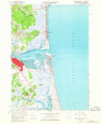
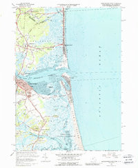
Editions of this 1966 Newburyport East Map
3 editions found
Other maps of this area

1886 · Gloucester
USGS Topo · 1:62,500

1888 · Newburyport
USGS Topo · 1:62,500

1888 · Gloucester
USGS Topo · 1:62,500

1888 · Salem
USGS Topo · 1:62,500

1890 · Newburyport
USGS Topo · 1:62,500

1893 · Salem
USGS Topo · 1:62,500

1893 · Gloucester
USGS Topo · 1:62,500

1894 · Newburyport
USGS Topo · 1:62,500

1917 · Salem
USGS Topo · 1:62,500

1918 · Gloucester
USGS Topo · 1:62,500