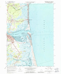
1966 Map of Newburyport East
USGS Topo · Published 1988About this map
The Merrimack River meets the Atlantic Ocean in this 1966 survey, revealing a landscape defined by shifting sands and deep-rooted coastal settlements. In Newburyport, the dense grid of streets near the Library and the historic Joppa neighborhood transitions into the vast Joppa Flats. Across the water, the Salisbury Beach State Reservation and Salisbury Beach show the mid-century development of the shoreline, including a Drive-in Theater and numerous coastal cottages.
Find a feature on this map
96 named features on this map. Tap any name to fly to it.
Don’t see what you’re looking for? This feature index may not catch every label — zoom into the map to look around manually.
Map Details
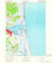
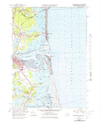
Editions of this 1966 Newburyport East Map
3 editions found
Other maps of this area

1886 · Gloucester
USGS Topo · 1:62,500

1888 · Newburyport
USGS Topo · 1:62,500

1888 · Gloucester
USGS Topo · 1:62,500

1888 · Salem
USGS Topo · 1:62,500

1890 · Newburyport
USGS Topo · 1:62,500

1893 · Salem
USGS Topo · 1:62,500

1893 · Gloucester
USGS Topo · 1:62,500

1894 · Newburyport
USGS Topo · 1:62,500

1917 · Salem
USGS Topo · 1:62,500

1918 · Gloucester
USGS Topo · 1:62,500