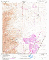
1955 Map of North Franklin Mountain
USGS Topo · Published 1991About this map
North Franklin Mountain and the high ridges of the Anthonys Nose dominate the western portion of this landscape, descending sharply into the rugged canyons and desert flats of the Fort Bliss Military Reservation. The map captures a transitional moment for El Paso, with the purple-tinted urban expansion of the early 1970s pushing north toward the Castner Range. To the east, the terrain levels out into a network of utility infrastructure and early aviation markers, including a Landing Strip and a Landing Area.
Find a feature on this map
38 named features on this map. Tap any name to fly to it.
Don’t see what you’re looking for? This feature index may not catch every label — zoom into the map to look around manually.
Map Details
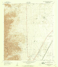
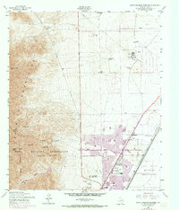
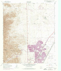
Editions of this 1955 North Franklin Mountain Map
4 editions found
Other maps of this area

1891 · Las Cruces
USGS Topo · 1:125,000

1893 · Las Cruces
USGS Topo · 1:125,000

1896 · El Paso
USGS Topo · 1:125,000

1908 · El Paso
USGS Topo · 1:125,000

1917 · Canutillo
USGS Topo · 1:62,500

1919 · Canutillo
USGS Topo · 1:62,500

1940 · Newman
USGS Topo · 1:62,500

1941 · El Paso
USGS Topo · 1:31,680

1942 · Fort Bliss
USGS Topo · 1:62,500

1943 · La Mesa
USGS Topo · 1:62,500