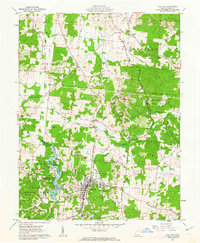
1961 Map of Oak Hill
USGS Topo · Published 1963About this map
Oak Hill serves as the industrial and social anchor of this 1961 landscape, where the Baltimore and Ohio railroad cuts through a terrain defined by clay extraction and coal mining. The map captures the region's transition into conservation and recreation with the presence of the Jackson Lake State Reserve and the Cooper Hollow Wildlife Area, both providing a sharp contrast to the numerous Strip Mines and active Kilns scattered throughout Jefferson and Madison townships. Local family names and community foundations are well-preserved through a high density of rural cemeteries and churches, such as Horeb Ch and Oak Hill Cem. From the small settlement at Camba in the northwest to the complex network of creeks like Salt Creek and Symmes Creek, the map details a community deeply connected to its geological resources and natural geography.
Find a feature on this map
63 named features on this map. Tap any name to fly to it.
Don’t see what you’re looking for? This feature index may not catch every label — zoom into the map to look around manually.
Map Details
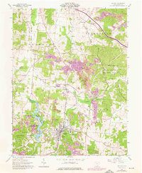
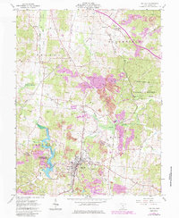
Editions of this 1961 Oak Hill Map
3 editions found
Other maps of this area

1905 · Wilkesville
USGS Topo · 1:62,500

1906 · Bidwell
USGS Topo · 1:62,500

1908 · Bidwell
USGS Topo · 1:62,500

1908 · Wilkesville
USGS Topo · 1:62,500

1912 · Oak Hill
USGS Topo · 1:62,500

1913 · Jackson
USGS Topo · 1:62,500

1944 · Jackson
USGS Topo · 1:62,500

1947 · Columbus
USGS Topo · 1:250,000

1957 · Huntington
USGS Topo · 1:250,000

1960 · Huntington
USGS Topo · 1:250,000