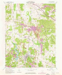
1961 Map of Oak Hill
USGS Topo · Published 1976About this map
The industrial and recreational landscape of Jackson County, Ohio, is documented in this 1961 record, featuring later updates from 1975. Oak Hill serves as the primary hub, where the Baltimore and Ohio railroad intersects with a landscape marked by industrial activity, including several Strip Mines and local kilns. To the west, the waters of Jackson Lake and the Jackson Lake State Reserve offer a contrast to the mining sectors, while the Wayne National Forest and Cooper Hollow Wildlife Area define the wooded surroundings.
Find a feature on this map
62 named features on this map. Tap any name to fly to it.
Don’t see what you’re looking for? This feature index may not catch every label — zoom into the map to look around manually.
Map Details
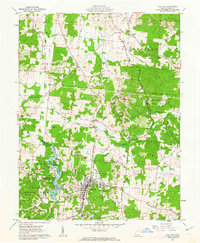
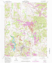
Editions of this 1961 Oak Hill Map
3 editions found
Other maps of this area

1905 · Wilkesville
USGS Topo · 1:62,500

1906 · Bidwell
USGS Topo · 1:62,500

1908 · Bidwell
USGS Topo · 1:62,500

1908 · Wilkesville
USGS Topo · 1:62,500

1912 · Oak Hill
USGS Topo · 1:62,500

1913 · Jackson
USGS Topo · 1:62,500

1944 · Jackson
USGS Topo · 1:62,500

1947 · Columbus
USGS Topo · 1:250,000

1957 · Huntington
USGS Topo · 1:250,000

1960 · Huntington
USGS Topo · 1:250,000