2022 Map of Oklahoma Flat
USGS Topo · Published 2022About this map
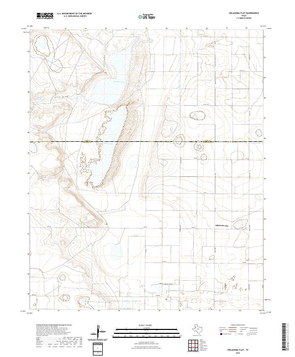
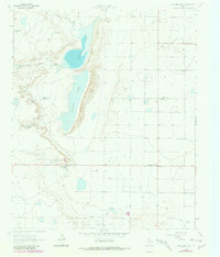
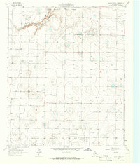
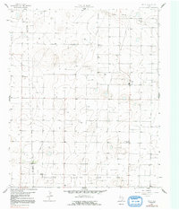
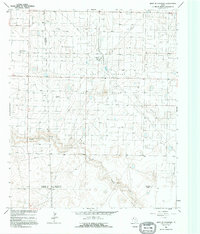
Oklahoma Flat sits on the high plains of the Texas Panhandle, positioned along a transition in the landscape defined by the drainage systems of Goat Draw and Yellow House Draw. The terrain is marked by significant ephemeral water bodies including Illusion Lake and Yellow Lake, which characterize the interior drainage basins of this region. This 2022 survey captures the grid-pattern development across the Lamb and Hockley County line, where rural road names like Poland, Spain, and Ontario reflect a systematic approach to local geography.
Find a feature on this map
23 named features on this map. Tap any name to fly to it.
Don’t see what you’re looking for? This feature index may not catch every label — zoom into the map to look around manually.
Map Details
Editions of this 2022 Oklahoma Flat Map
This is the sole edition of this map. No revisions or reprints were ever made.
Historical Maps of Oklahoma Flat Through Time
24 maps found
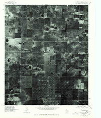
1964 Lums Chapel
Hockley County, TX
1964 Oklahoma Flat
Hockley County, TX
1964 Pep
Hockley County, TX
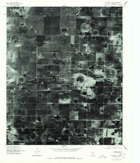
1965 Hester Ranch
Hockley County, TX
1965 Levelland East
Hockley County, TX
1965 Levelland West
Hockley County, TX
1965 Lockettville
Hockley County, TX
1965 Pettit
Hockley County, TX
1965 West of Sundown
Hockley County, TX
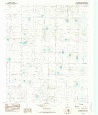
1976 Anton SW
Hockley County, TX
1976 Meadow NW
Hockley County, TX
1976 Wolfforth NW
Hockley County, TX
1976 Wolfforth SW
Hockley County, TX
1985 Wolfforth NW
Hockley County, TX
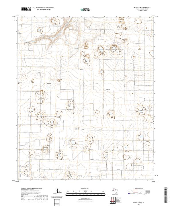
2022 Hester Ranch
Hockley County, TX
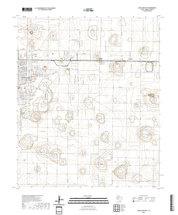
2022 Levelland East
Hockley County, TX
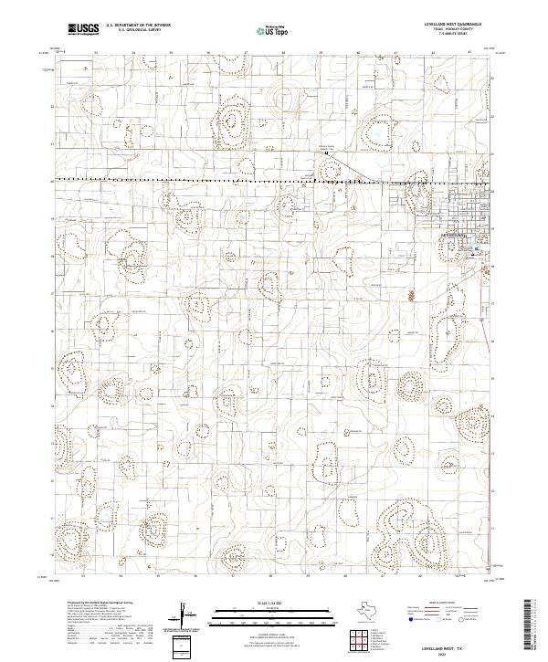
2022 Levelland West
Hockley County, TX
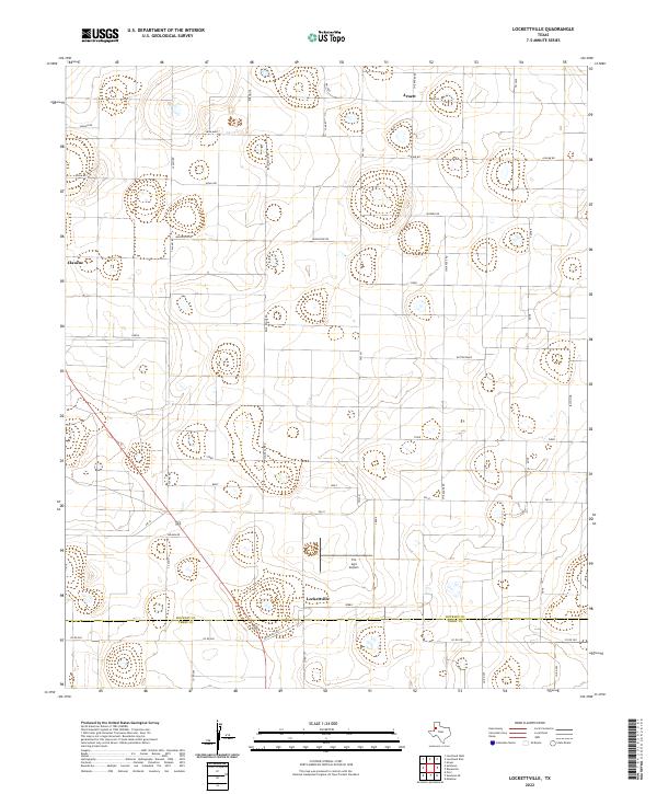
2022 Lockettville
Hockley County, TX
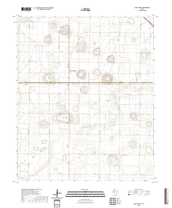
2022 Lums Chapel
Hockley County, TX
2022 Oklahoma Flat
Hockley County, TX
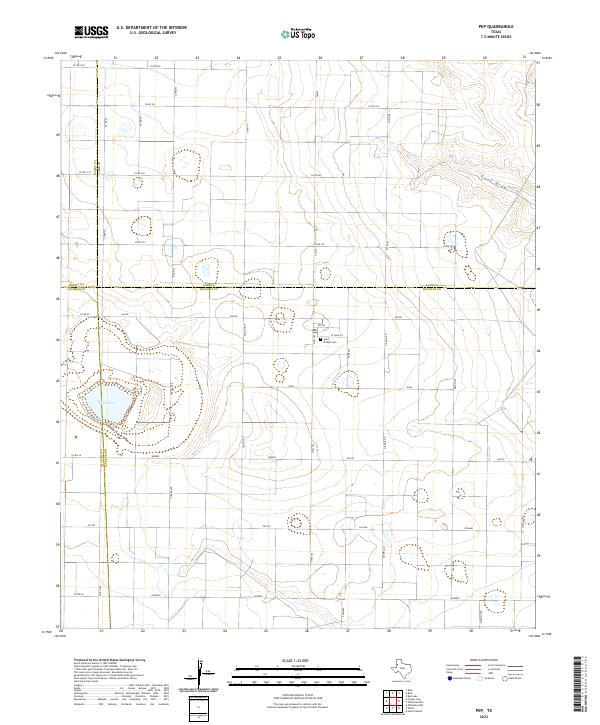
2022 Pep
Hockley County, TX
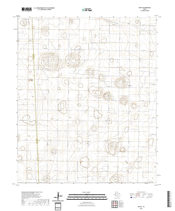
2022 Pettit
Hockley County, TX
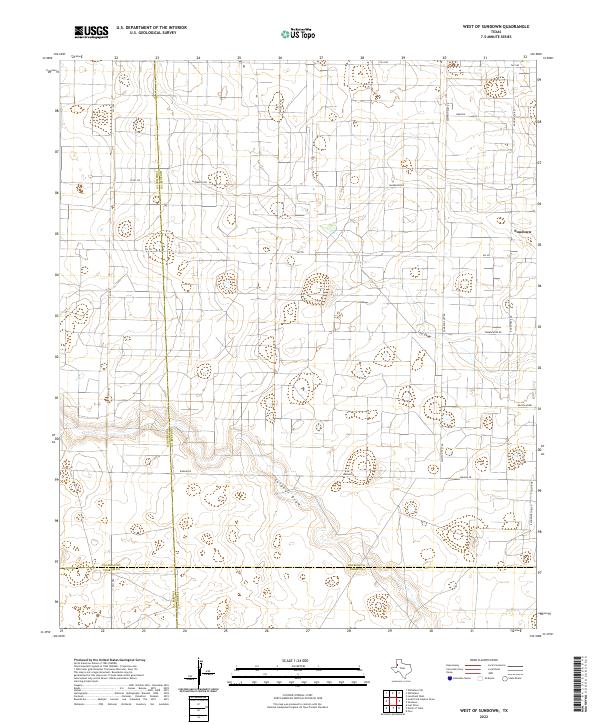
2022 West of Sundown
Hockley County, TX
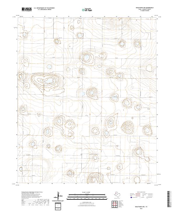
2022 Wolfforth NW
Hockley County, TX