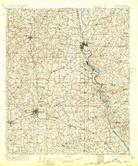
1909 Map of Opelika
USGS Topo · Published 1932About this map
The Chattahoochee River forms a jagged natural boundary between Alabama and Georgia, defined in the early 1900s by a series of vital river crossings including Houston Ferry, Blanton Ferry, and Dixon Ferry. These ferries served as critical economic links between textile manufacturing centers like Lanett and West Point before modern bridges standardized regional travel. The landscape is deeply etched by a network of creeks—such as Osanippa Creek and Halawakee Creek—which supported numerous small-scale industries like Wands Mill and Jackson Mill.
Find a feature on this map
71 named features on this map. Tap any name to fly to it.
Don’t see what you’re looking for? This feature index may not catch every label — zoom into the map to look around manually.
Map Details
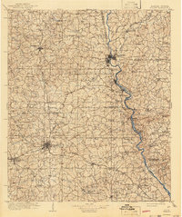
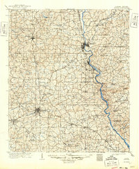
Editions of this 1909 Opelika Map
4 editions found
Other maps of this area

1891 · Ashland
USGS Topo · 1:125,000

1899 · Wedowee
USGS Topo · 1:125,000

1902 · Wedowee
USGS Topo · 1:125,000

1906 · Dadeville
USGS Topo · 1:125,000

1907 · Talbotton
USGS Topo · 1:125,000

1907 · Opelika
USGS Topo · 1:125,000

1908 · Columbus
USGS Topo · 1:62,500

1909 · Opelika
USGS Topo · 1:125,000

1914 · Seale
USGS Topo · 1:62,500

1929 · Columbus
USGS Topo · 1:48,000