
1955 Map of Ouray
USGS Topo · Published 1957About this map
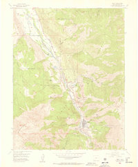
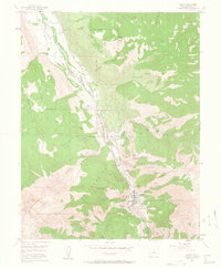
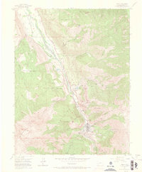
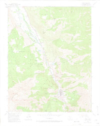
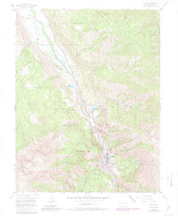
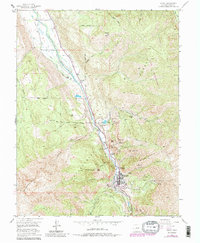
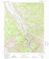
Ouray sits at the base of dramatic vertical terrain where the Uncompahgre River carves through the Uncompahgre Gorge. This mid-century survey documents the transition of a mountain landscape from an intensive mining center to a destination for leisure and transit. The town’s industrial roots are visible in the heavy concentration of named claims and processing sites flanking the canyon, including the American Lead and Zinc Mill, Silvershield Mill, and the Pony Express Mine.
Find a feature on this map
60 named features on this map. Tap any name to fly to it.
Don’t see what you’re looking for? This feature index may not catch every label — zoom into the map to look around manually.
Map Details
Editions of this 1955 Ouray Map
9 editions found
Other maps of this area

1897 · Telluride
USGS Topo · 1:62,500

1897 · Silverton
USGS Topo · 1:62,500

1901 · Silverton
USGS Topo · 1:62,500

1902 · Silverton
USGS Topo · 1:62,500

1902 · Ouray
USGS Topo · 1:62,500

1904 · Ouray
USGS Topo · 1:62,500

1904 · Telluride
USGS Topo · 1:62,500

1909 · Montrose
USGS Topo · 1:125,000

1911 · Montrose
USGS Topo · 1:125,000

1945 · Durango
USGS Topo · 1:250,000